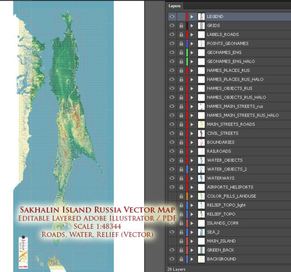
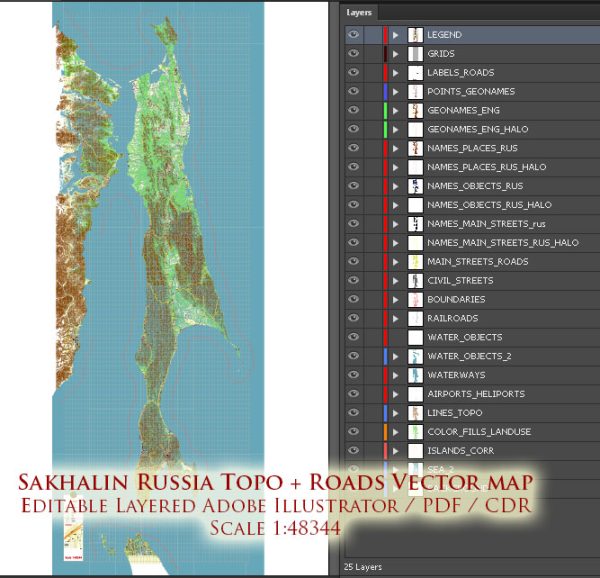
Sakhalin Island is a large island located in the Russian Far East, situated to the north of Japan. It is the largest island in Russia, and its administrative center is Yuzhno-Sakhalinsk. Sakhalin has a diverse geography, including mountains, forests, and coastal areas.
Vectormap.Net provide you with the most accurate and up-to-date vector maps in Adobe Illustrator, PDF and other formats, designed for editing and printing. Please read the vector map descriptions carefully.
Here is a detailed description of some of the main cities, ports, towns, and principal roads on Sakhalin Island:
- Yuzhno-Sakhalinsk:
- Description: Yuzhno-Sakhalinsk is the capital and largest city of Sakhalin Oblast. It is located in the southern part of the island and serves as the administrative, cultural, and economic center. The city has a mix of modern and Soviet-era architecture, and it is home to various government offices, educational institutions, and cultural attractions.
- Kholmsk:
- Description: Kholmsk is a port town located on the western coast of Sakhalin Island. It serves as an important transportation hub for ferry services connecting Sakhalin to the mainland of Russia. The port plays a crucial role in the transportation of goods and passengers.
- Poronaysk:
- Description: Poronaysk is a town on the eastern coast of Sakhalin Island. It is known for its picturesque coastal scenery and is a center for fishing and seafood processing. The town has historical significance as a former Japanese settlement during the period when southern Sakhalin was under Japanese control.
- Nevelsk:
- Description: Nevelsk is a town located on the western coast of Sakhalin. It is a significant port, handling both cargo and passenger traffic. The town is named after the Russian explorer Gennady Nevelskoy, who played a key role in the annexation of Sakhalin by Russia in the 19th century.
- Korsakov:
- Description: Korsakov is a port city on the southern tip of Sakhalin Island. It serves as a major seaport with connections to Japan and other ports in the region. The city is known for its fishing industry and is a gateway for maritime trade.
- Shakhtersk:
- Description: Shakhtersk is a town in the northern part of Sakhalin Island. It is situated in a coal-mining region and has economic significance due to the extraction and processing of coal.
- Sakhalin’s Principal Roads:
- The road infrastructure on Sakhalin Island includes a network of highways connecting major cities and towns. The Sakhalin-Khabarovsk-Vladivostok highway is a significant route providing connectivity to the mainland. Other roads link key locations on the island, facilitating transportation and commerce.
Sakhalin Island’s geography, with its rugged terrain and coastal areas, makes transportation vital for the island’s development and economic activities. The cities and towns mentioned above contribute to Sakhalin’s economic and cultural landscape, with ports playing a crucial role in trade and transportation.


 Author: Kirill Shrayber, Ph.D. FRGS