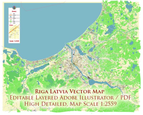
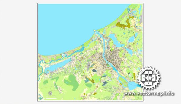
A general overview of the transportation and port infrastructure in Riga, Latvia.
Vectormap.Net provide you with the most accurate and up-to-date vector maps in Adobe Illustrator, PDF and other formats, designed for editing and printing. Please read the vector map descriptions carefully.
Transportation Infrastructure:
- Road Network:
- Riga has a well-developed road network, with a system of highways and well-maintained roads connecting the city to other parts of Latvia and neighboring countries.
- The city is a hub for several major roads and highways, facilitating both domestic and international travel.
- Public Transportation:
- Riga has an efficient public transportation system that includes buses, trams, and trolleybuses.
- The public transport network covers the city and its suburbs, making it convenient for residents and visitors to navigate.
- Rail Network:
- Latvia has a well-connected rail network, and Riga serves as a major railway hub.
- The central railway station, Rīgas centrālā dzelzceļa stacija, connects Riga to various cities within Latvia and offers international train services to neighboring countries.
- Air Transport:
- Riga International Airport (RIX) is the main international gateway to Latvia. It is located about 10 kilometers southwest of the city center.
- The airport provides regular flights to major European cities and serves as a hub for several airlines.
Port Infrastructure:
- Riga Freeport:
- Riga has a significant maritime presence with the Riga Freeport, one of the largest ports in the Baltic region.
- The port is strategically located at the mouth of the Daugava River, facilitating the handling of both cargo and passenger traffic.
- Cargo Handling:
- The port handles a diverse range of cargo, including containers, bulk cargo, general cargo, and liquid cargo.
- Modern cargo handling facilities and equipment contribute to the efficiency of operations.
- Passenger Traffic:
- In addition to cargo, the port caters to passenger traffic with ferry services connecting Riga to various destinations, including other Baltic states and Scandinavia.
- Infrastructure Facilities:
- The Riga Freeport Authority oversees the port’s operations and infrastructure development.
- The port is equipped with modern facilities, including terminals, warehouses, and quays to handle various types of cargo.
- Strategic Location:
- Riga’s geographical location makes it a strategic transit point for goods moving between Western and Eastern Europe.


 Author: Kirill Shrayber, Ph.D. FRGS