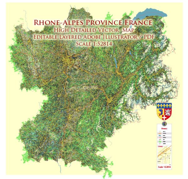
Rhône-Alpes was a former administrative region in southeast France. However, administrative regions were restructured in 2016, and Rhône-Alpes was merged with Auvergne to form the new region Auvergne-Rhône-Alpes.
Vectormap.Net provide you with the most accurate and up-to-date vector maps in Adobe Illustrator, PDF and other formats, designed for editing and printing. Please read the vector map descriptions carefully.
Natural Parks and Reserves:
- Vanoise National Park:
- Located in the northern part of the region, Vanoise National Park is known for its stunning alpine landscapes.
- It is the first national park in France and covers an area of over 500 square kilometers.
- The park is home to a variety of wildlife, including ibex, chamois, and marmots.
- Écrins National Park:
- Situated in the southern part of the region, Écrins National Park is characterized by high mountain ranges, glaciers, and deep valleys.
- It is the largest national park in France, offering diverse ecosystems and habitats.
- Visitors can enjoy activities such as hiking, mountaineering, and observing the rich flora and fauna.
- Chartreuse Regional Natural Park:
- Located near Grenoble, this park is known for its limestone hills and dense forests.
- The park is famous for the Grande Chartreuse Monastery, where the Chartreuse liquor is produced.
- Visitors can explore hiking trails, caves, and enjoy the picturesque landscapes.
Tourism in Rhône-Alpes:
- Annecy:
- Known as the “Venice of the Alps,” Annecy is a charming town with a stunning lake and historic architecture.
- Visitors can explore the Old Town, take a boat ride on Lake Annecy, and enjoy outdoor activities.
- Lyon:
- As a UNESCO World Heritage site, Lyon is known for its rich history, Renaissance architecture, and gastronomy.
- The city boasts museums, historical landmarks, and vibrant markets, making it a cultural hub.
- Grenoble:
- Nestled in the mountains, Grenoble is a city known for its scientific research and winter sports.
- The Bastille, accessible by cable car, offers panoramic views of the city and the surrounding Alps.
- Chamonix-Mont-Blanc:
- A world-famous destination for winter sports and mountaineering, Chamonix-Mont-Blanc is surrounded by stunning peaks.
- The Aiguille du Midi cable car provides breathtaking views of Mont Blanc.
- Vienne:
- Vienne is a historical town with well-preserved Roman ruins, including a Roman theater and temple.
- The annual Jazz à Vienne festival attracts music enthusiasts from around the world.
Outdoor Activities:
- Skiing and Winter Sports:
- With numerous ski resorts in the region, Rhône-Alpes is a haven for winter sports enthusiasts. Popular ski resorts include Courchevel, Méribel, and Val d’Isère.
- Hiking and Trekking:
- The diverse landscapes of the region offer excellent opportunities for hiking and trekking, whether in national parks or along scenic trails.
- Cycling:
- The region is known for its challenging cycling routes, including parts of the Tour de France route.
- Wine Tourism:
- Rhône-Alpes is part of the larger Rhône wine region, and visitors can explore vineyards and taste a variety of wines.
Remember to check for any updates or changes in attractions, accessibility, or services, as the tourism landscape can evolve over time.


 Author: Kirill Shrayber, Ph.D.