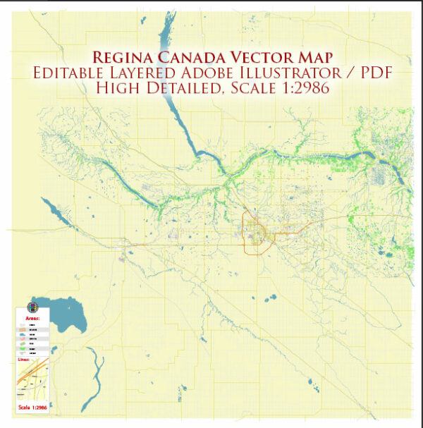
Regina, the capital city of the province of Saskatchewan in Canada, has a rich history and a well-developed transportation infrastructure.
Vectormap.Net provide you with the most accurate and up-to-date vector maps in Adobe Illustrator, PDF and other formats, designed for editing and printing. Please read the vector map descriptions carefully.
Here’s a detailed overview:
History:
- Indigenous Peoples:
- The area around Regina has a long history of Indigenous occupation, with the Cree and Assiniboine being the earliest known inhabitants.
- The region was part of the vast territory traversed by Indigenous peoples for trade and hunting.
- European Exploration and Settlement:
- European exploration in the area began in the late 18th century, with fur traders and explorers navigating the rivers.
- The North-West Mounted Police (NWMP) established a post in the region in 1882, which played a crucial role in maintaining law and order during the settlement period.
- Formation of Regina:
- Regina was officially established in 1882 when it was chosen as the capital of the Northwest Territories.
- The city’s name is Latin for “queen” and was named after Queen Victoria.
- Growth and Development:
- The arrival of the Canadian Pacific Railway in 1882 contributed significantly to Regina’s growth as a transportation and trade hub.
- Agriculture became a dominant economic force, and Regina played a central role in the wheat boom of the late 19th and early 20th centuries.
- Formation of Saskatchewan:
- Saskatchewan became a province in 1905, and Regina continued as the provincial capital.
- The city faced challenges during the Great Depression, but post-World War II, it experienced growth and modernization.
Transportation Infrastructure:
- Railways:
- The Canadian Pacific Railway played a crucial role in Regina’s early development, facilitating the transportation of goods and people.
- The city remains a key rail hub, with both Canadian Pacific Railway and Canadian National Railway serving the region.
- Roadways:
- Regina is well-connected by a network of highways, including the Trans-Canada Highway (Highway 1), which runs through the city.
- The road infrastructure is designed to support the transportation of agricultural products, as farming is a significant economic activity in the region.
- Public Transportation:
- Regina Transit operates the public bus system in the city, providing essential transportation services to residents.
- The city has been working on improving public transit to meet the growing needs of its population.
- Air Travel:
- Regina International Airport (YQR) serves as the main air transportation hub for the region.
- The airport connects Regina to major Canadian cities and offers domestic and international flights.
- Infrastructure Developments:
- Over the years, Regina has invested in infrastructure projects to accommodate its growing population and economic activities.
- Upgrades to roadways, bridges, and public transit systems have been undertaken to improve transportation efficiency.
- Cycling and Pedestrian Infrastructure:
- The city has been making efforts to enhance cycling and pedestrian infrastructure, promoting sustainable and active modes of transportation.
In summary, Regina’s history is closely tied to its role as a transportation and trade center, with railways and later roadways playing vital roles in its development. The city continues to invest in its transportation infrastructure to support its residents and businesses.


 Author: Kirill Shrayber, Ph.D.