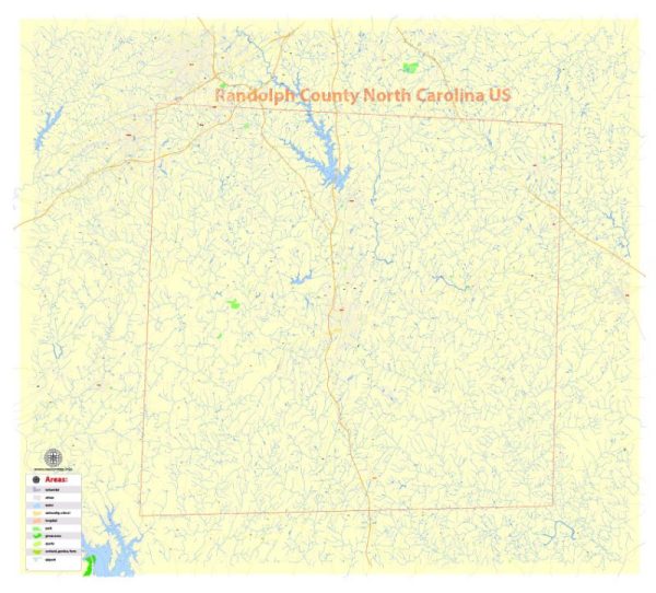
A general overview of Randolph County, North Carolina.
Vectormap.Net provide you with the most accurate and up-to-date vector maps in Adobe Illustrator, PDF and other formats, designed for editing and printing. Please read the vector map descriptions carefully.
Randolph County, North Carolina:
Cities and Towns:
- Asheboro: The county seat of Randolph County, Asheboro is the largest city and a hub for business, culture, and recreation. It is home to the North Carolina Zoo, one of the largest natural habitat zoos in the world.
- Archdale: A city located in the southwestern part of the county, Archdale is known for its community-oriented atmosphere and various parks.
- Trinity: Trinity is a smaller town in the southeastern part of the county. It is a residential community with a mix of rural and suburban characteristics.
- Randleman: Situated to the northeast of Asheboro, Randleman is a town known for its historical sites and outdoor recreational opportunities.
- Liberty: Located in the northern part of the county, Liberty is a small town with a rich history, including a historic district and local museums.
- Ramseur: Positioned to the east of Asheboro, Ramseur is a town with a focus on community events and local businesses.
Principal Roads:
- Interstate 73/74 (U.S. 220): This major north-south interstate highway runs through the western part of Randolph County, connecting cities like Asheboro and Archdale.
- U.S. Highway 64: Running east-west, U.S. 64 passes through Asheboro and provides a key transportation route in the region.
- U.S. Highway 220 Business: Serving as a business route for Interstate 73/74, this highway runs through Asheboro.
- N.C. Highway 49: This north-south state highway crosses through the eastern part of the county, passing through towns like Liberty and Ramseur.
- N.C. Highway 62: Running northeast-southwest, N.C. 62 connects towns such as Asheboro, Trinity, and High Point.
These are just some of the main cities, towns, and roads in Randolph County, North Carolina. For the most up-to-date and detailed information, it’s recommended to consult local maps, government sources, or online resources dedicated to the area.


 Author: Kirill Shrayber, Ph.D. FRGS