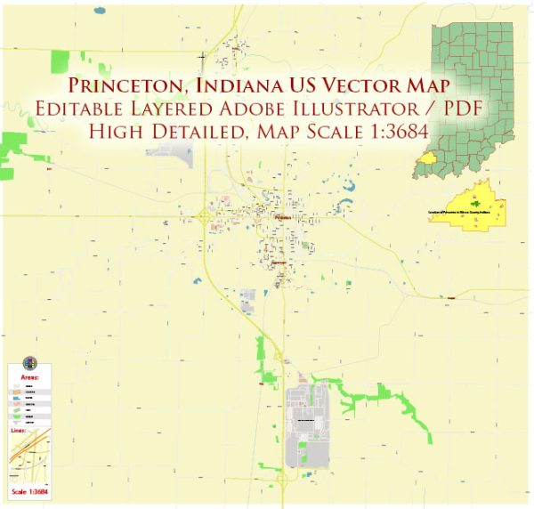
Princeton, Indiana, a general information about the town and some notable landmarks.
Princeton is a city in and the county seat of Gibson County, Indiana, United States. It has a rich history, and several historic places contribute to its cultural heritage.
Vectormap.Net provide you with the most accurate and up-to-date vector maps in Adobe Illustrator, PDF and other formats, designed for editing and printing. Please read the vector map descriptions carefully.
- Gibson County Courthouse: The courthouse is often a focal point in historic towns, and Princeton is no exception. The Gibson County Courthouse, with its classic architecture, stands as a symbol of the legal and administrative history of the area.
- Old Town Hall: Municipal buildings often have historical significance. The Old Town Hall in Princeton may offer insights into the town’s governance and community life during its earlier years.
- Fort Branch Civil War Park: Located nearby is the Fort Branch Civil War Park, which commemorates the history of the Civil War. While not within Princeton itself, it’s a notable site for those interested in the region’s Civil War heritage.
- Princeton Downtown Historic District: Downtown areas typically house many historic buildings, streets, and squares. Strolling through the Princeton Downtown Historic District, you may find well-preserved structures that reflect the town’s past.
- Pioneer Village: Some towns have recreated historic villages to showcase life in the past. Pioneer Village, if available in or around Princeton, could provide a glimpse into the daily lives of the early settlers.
- Cemeteries: Often, local cemeteries hold historical significance. They may contain the graves of notable figures from Princeton’s past, offering a connection to the town’s history.
- Local Museums: Museums in the area could house exhibits and artifacts that tell the story of Princeton and its surrounding regions. These might include the Princeton-Monroe Township Heritage Museum or other similar institutions.
- Notable Churches: Historic churches can also be important landmarks. St. Joseph Catholic Church and other older churches in Princeton may have architectural and historical significance.
To get more detailed and up-to-date information about specific historic places in Princeton, it would be beneficial to contact local historical societies, visit municipal offices, or explore dedicated historical websites and resources for the area.


 Author: Kirill Shrayber, Ph.D. FRGS