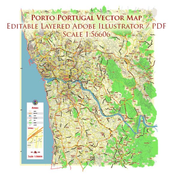
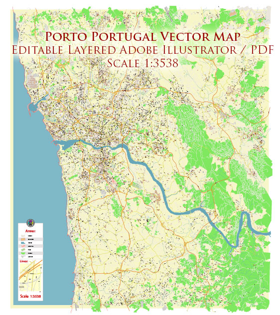
Porto, also known as Oporto, is a vibrant city in northwest Portugal and is the second-largest city in the country after Lisbon. The city has a rich history, a bustling port, and a well-developed transportation infrastructure.
Vectormap.Net provide you with the most accurate and up-to-date vector maps in Adobe Illustrator, PDF and other formats, designed for editing and printing. Please read the vector map descriptions carefully.
History:
- Early History: Porto’s history dates back to Roman times when it was known as Portus Cale, from which the country Portugal derives its name. The city played a significant role in the trade and commerce of the Roman Empire.
- Medieval and Renaissance Periods: Porto flourished during the medieval and Renaissance periods, becoming a key center for trade and shipbuilding. The city’s historical center, Ribeira, is a UNESCO World Heritage site with narrow streets, colorful houses, and historic buildings.
- 18th to 20th Century: Porto experienced economic growth during the 18th century due to the wine trade, particularly the production and export of Port wine. The 19th century saw industrialization, with the city becoming a major industrial and commercial center. The iconic Dom Luís I Bridge, designed by Gustave Eiffel, was completed in 1886 and spans the Douro River, connecting Porto with Vila Nova de Gaia.
- Modern Era: In the 20th century, Porto faced economic challenges, but in recent decades, it has undergone a cultural and economic revitalization. The city has become a popular tourist destination, known for its historic charm, cultural events, and culinary scene.
Port:
- Port of Leixões: The main port serving Porto is the Port of Leixões, located in Matosinhos, about 7 kilometers northwest of the city center. It is one of the largest artificial ports in Portugal and plays a crucial role in the country’s import and export activities.
- Importance of the Port: The Port of Leixões handles a variety of cargoes, including containers, general cargo, liquid bulk, and dry bulk. It serves as a gateway for international trade and contributes significantly to the regional and national economy.
Transportation Infrastructure:
- Public Transportation: Porto has an efficient public transportation system that includes buses, trams, and the Metro do Porto. The metro system connects various parts of the city and extends to neighboring municipalities.
- Trains: São Bento Railway Station is a major transportation hub with train connections to other Portuguese cities and international destinations. The railway network facilitates both passenger and cargo transport.
- Roads and Highways: Porto is well-connected by road, with highways linking it to major cities in Portugal and beyond. The A1 and A4 highways are essential arteries connecting Porto with Lisbon and the eastern part of the country.
- Airport: Francisco Sá Carneiro Airport, located about 11 kilometers northwest of the city center, serves as Porto’s international airport. It handles both domestic and international flights, contributing to the city’s accessibility and connectivity.
In summary, Porto’s history is intertwined with trade, commerce, and maritime activities. The city’s port and transportation infrastructure are crucial components of its economic vitality, allowing it to thrive as a cultural, historical, and economic hub in Portugal.


 Author: Kirill Shrayber, Ph.D.