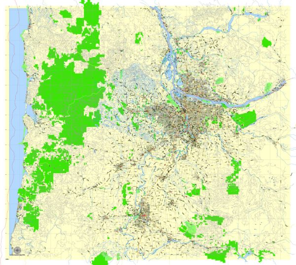
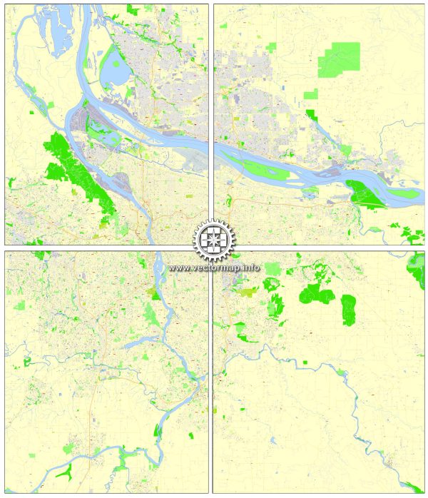
A general overview of the road and street infrastructure in Portland, Vancouver, Oregon City, and Salem.
Vectormap.Net provide you with the most accurate and up-to-date vector maps in Adobe Illustrator, PDF and other formats, designed for editing and printing. Please read the vector map descriptions carefully.
Portland, Oregon:
Road Network:
Portland has a well-developed road network that includes a combination of highways, major roads, and local streets. Some key elements include:
- Interstate Highways: Portland is served by several Interstate highways, including I-5, I-84, and I-205.
- Bridges: Portland is known for its bridges, such as the Fremont Bridge, Marquam Bridge, and the iconic St. Johns Bridge.
- Major Roads: Major roads like Powell Boulevard, Barbur Boulevard, and Burnside Street contribute to the city’s transportation network.
- Grid Layout: Portland’s downtown area follows a grid layout, making navigation relatively straightforward.
Public Transit:
- TriMet: Portland’s public transit agency, TriMet, operates a network of buses, MAX light rail, and commuter rail services.
Vancouver, Washington:
Road Network:
- Interstate 5: The city is primarily connected to the interstate highway system through I-5.
- Local Roads: Vancouver has a network of local roads serving residential, commercial, and industrial areas.
Public Transit:
- C-TRAN: The public transit agency, C-TRAN, provides bus services connecting various parts of Vancouver and the surrounding areas.
Oregon City, Oregon:
Road Network:
- Highways: Oregon City is connected to the surrounding region through highways such as Oregon Route 213.
- Local Streets: The city features a network of local streets serving its residential and commercial areas.
Salem, Oregon:
Road Network:
- Interstate 5: Salem is situated along Interstate 5, a major north-south highway on the West Coast.
- State Highways: Oregon Route 22 and Oregon Route 99E are among the state highways that pass through Salem.
- Local Roads: Salem has a grid of local roads, and its downtown area is organized in a grid pattern.
Public Transit:
- Cherriots: The public transit system in Salem is operated by Cherriots, providing bus services within the city and the surrounding region.
General Observations:
- The Pacific Northwest is known for its scenic drives and green landscapes.
- These cities often experience traffic congestion, particularly during peak hours, which has led to ongoing efforts to improve public transportation and develop alternative transportation options.
- Initiatives for sustainable transportation, such as bike lanes and pedestrian-friendly infrastructure, are common in these areas.
For the most up-to-date and detailed information, please refer to the respective city’s transportation department or local authorities.


 Author: Kirill Shrayber, Ph.D. FRGS