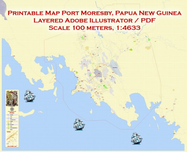
Port Moresby is the capital and largest city of Papua New Guinea (PNG), located on the southern coast of the country.
Vectormap.Net provide you with the most accurate and up-to-date vector maps in Adobe Illustrator, PDF and other formats, designed for editing and printing. Please read the vector map descriptions carefully.
History:
Port Moresby has a significant history, with evidence of human settlement in the area dating back thousands of years. The region was inhabited by indigenous communities long before the arrival of European explorers. In the late 19th century, German and British colonial interests influenced the area, and it eventually became part of the British Empire. During World War II, Port Moresby played a strategic role as it was a key location in the Pacific theater.
Port Infrastructure:
Port Moresby is home to several ports, with the primary port being the Port of Port Moresby. The port serves as a crucial gateway for the country, facilitating trade and commerce. The port handles a variety of cargo, including containers, general cargo, and bulk cargo.
Key features of the Port of Port Moresby include:
- Berths and Terminals: The port has multiple berths and terminals to accommodate different types of vessels. Container terminals are essential for handling containerized cargo, while bulk cargo terminals are designed for commodities like minerals and agricultural products.
- Facilities and Equipment: The port is equipped with modern facilities and machinery to facilitate efficient cargo handling. This includes cranes, storage areas, and other logistics infrastructure.
Transportation Infrastructure:
1. Air Transportation:
- Jacksons International Airport: Port Moresby is served by Jacksons International Airport, the main international gateway to Papua New Guinea. The airport handles both domestic and international flights, connecting the city to various destinations worldwide.
2. Road Transportation:
- Road Networks: Port Moresby has a network of roads connecting different parts of the city and linking it to other regions of Papua New Guinea. Road transportation is vital for local commuting as well as the transportation of goods.
3. Public Transportation:
- Buses and Taxis: The city has a public transportation system, including buses and taxis, to facilitate local travel.
Ongoing Developments:
As of my last update, Papua New Guinea has been working on various infrastructure projects to enhance its transportation networks and trade facilities. Improvements in port facilities and transportation infrastructure are crucial for the economic development of the region.


 Author: Kirill Shrayber, Ph.D.