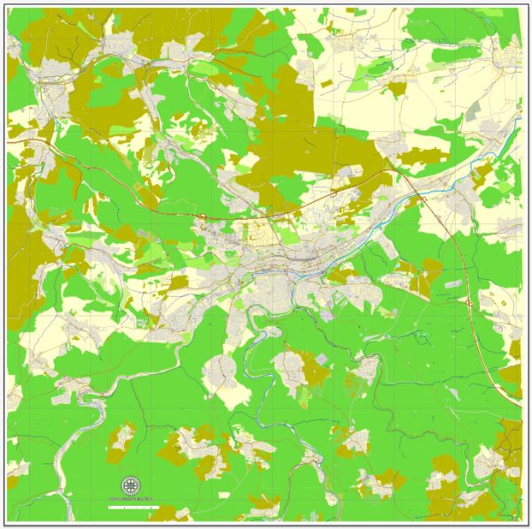
A general overview of the city of Pforzheim in Germany.
Vectormap.Net provide you with the most accurate and up-to-date vector maps in Adobe Illustrator, PDF and other formats, designed for editing and printing. Please read the vector map descriptions carefully.
Overview of Pforzheim:
Location: Pforzheim is a city located in the state of Baden-Württemberg, in southwestern Germany. It is situated on the northern edge of the Black Forest.
Districts: Pforzheim is divided into several districts, each with its own unique characteristics. Some of the districts include:
- Innenstadt (City Center): This area typically houses the main commercial and administrative buildings. It is likely to have shopping streets, cultural institutions, and historical landmarks.
- Brötzingen: A district known for its historic buildings and possibly a more residential character.
- Huchenfeld: This district is located to the northeast of the city and may have a mix of residential and rural areas.
- Eutingen im Gäu: A district that could be situated on the outskirts of Pforzheim, possibly characterized by a more rural environment.
Communities: Pforzheim’s communities are likely to be diverse in terms of demographics and lifestyle. Communities can refer to neighborhoods within districts or larger groups of people with shared interests.
Street System: The street system in Pforzheim, like in many European cities, is likely to consist of a mix of narrow, winding historic streets and more modern, organized thoroughfares. The city may have a central square or market square surrounded by important streets.
Major streets and avenues in Pforzheim might include those connecting key areas of the city, such as transportation hubs, commercial centers, and residential neighborhoods. The city is also likely to have a network of smaller streets and alleys that contribute to its overall layout.
For the most up-to-date and detailed information on the districts, communities, and street system in Pforzheim, it is recommended to refer to local government sources, official city maps, or recent online resources. Additionally, visiting the official website of the city or contacting local authorities can provide the latest and most accurate information.


 Author: Kirill Shrayber, Ph.D. FRGS