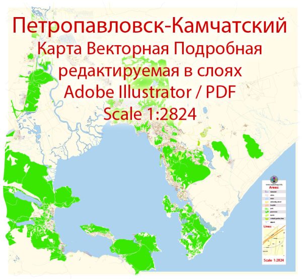
Petropavlovsk-Kamchatsky is a city in the Russian Far East, located on the Kamchatka Peninsula.
Vectormap.Net provide you with the most accurate and up-to-date vector maps in Adobe Illustrator, PDF and other formats, designed for editing and printing. Please read the vector map descriptions carefully.
Industrial History: Petropavlovsk-Kamchatsky has a significant history tied to its strategic location and natural resources. Historically, the region has been known for its fisheries, timber, and minerals. During the Soviet era, the city played a crucial role in military and strategic planning due to its proximity to the Pacific Ocean. Military installations and shipyards were established in the area.
The collapse of the Soviet Union in 1991 had a significant impact on the economy of the entire region, including Petropavlovsk-Kamchatsky. Many industrial facilities faced challenges during the transition to a market economy. However, the city has seen efforts to diversify its economy, with a focus on tourism, fisheries, and natural resource extraction.
Port: Petropavlovsk-Kamchatsky is an important port city, with its seaport serving as a hub for maritime activities. The port handles various goods, including fish products, timber, and minerals. The city’s port has likely played a crucial role in supporting the fishing industry, given the abundant marine resources in the surrounding waters.
Road System: The road system in and around Petropavlovsk-Kamchatsky is essential for connecting the city to other parts of the Kamchatka Peninsula. Roads facilitate transportation of goods and people within the region. The city is likely connected to the Trans-Siberian Highway, which extends across Russia, connecting the Far East to the western parts of the country.
The road infrastructure in remote and challenging terrains like Kamchatka can be a complex engineering task, considering the volcanic and mountainous nature of the region. Maintenance and development of roads are crucial for ensuring connectivity, especially given the significance of the city for both economic and strategic reasons.
In recent years, the Russian government has invested in infrastructure projects, including roads, to improve connectivity in remote regions. These projects aim to enhance economic development and facilitate transportation.
For the most up-to-date and detailed information on Petropavlovsk-Kamchatsky’s industrial history, port facilities, and road systems, it is recommended to consult local government sources, official reports, and recent news updates.


 Author: Kirill Shrayber, Ph.D. FRGS