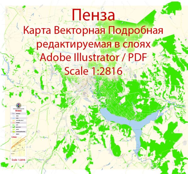
Some about urban history and street system of Penza, Russia, some general information based on historical trends in Russian urban development.
Penza is a city located in western Russia, and its history can be traced back to the 17th century.
Vectormap.Net provide you with the most accurate and up-to-date vector maps in Adobe Illustrator, PDF and other formats, designed for editing and printing. Please read the vector map descriptions carefully.
Here is a general overview of urban history in Russia and some information that might be applicable to Penza:
- Early History (17th-18th centuries):
- Many Russian cities, including Penza, were founded during the expansion of the Russian Empire in the 17th century. These cities often served as administrative, trade, and cultural centers.
- The layout of these cities was influenced by medieval planning, with a central square or market area and radial streets leading from it.
- Imperial Russia (19th century):
- The 19th century saw significant urbanization and industrialization in Russia. Cities like Penza likely experienced growth as industries and infrastructure developed.
- During this period, there was a mix of traditional planning and new urban designs influenced by European trends.
- Soviet Era (20th century):
- The Soviet era brought about substantial changes to Russian cities, including Penza. Planned economies and centralized control influenced urban planning and architecture.
- Many Soviet cities were characterized by wide boulevards, squares, and monumental buildings. The street system often followed a grid pattern.
- Post-Soviet Period (Late 20th century to present):
- With the dissolution of the Soviet Union in 1991, Russian cities underwent transformations. Economic changes and a shift toward market-oriented policies impacted urban development.
- Some cities experienced challenges such as economic decline, while others adapted to new economic realities.
Regarding the street system in Penza, it likely follows a grid pattern in newer areas, especially those developed during the Soviet era. Older parts of the city might have a more organic layout with winding streets and a central core.
For the most up-to-date and specific information on Penza’s urban history and street system, I recommend checking local historical records, city planning documents, or contacting local authorities or historical societies in Penza. You can also explore online resources or recent publications on Russian urban history.


 Author: Kirill Shrayber, Ph.D. FRGS