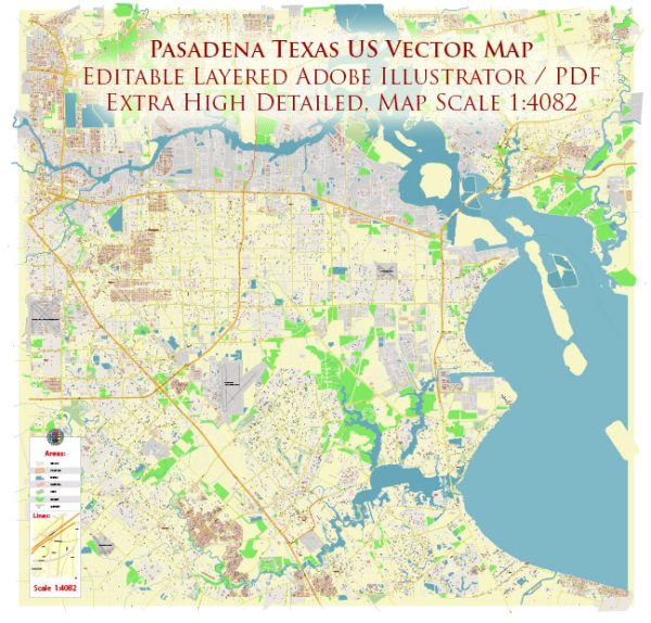
A general overview of Pasadena, Texas, including its districts, communities, and street system.
Pasadena is a city located in the southeastern part of the Houston metropolitan area in Texas, United States. It is known for its industrial activities, including oil refining and petrochemical processing.
Vectormap.Net provide you with the most accurate and up-to-date vector maps in Adobe Illustrator, PDF and other formats, designed for editing and printing. Please read the vector map descriptions carefully.
Here’s a general description of its districts, communities, and street system:
- Districts:
- Downtown Pasadena: The city’s downtown area typically houses government offices, businesses, and local services. Downtown areas often have a mix of commercial and residential properties.
- Industrial Districts: Given Pasadena’s industrial nature, there are likely specific districts dedicated to industrial and manufacturing activities. These areas might include refineries, chemical plants, and other industrial facilities.
- Residential Districts: Pasadena has various neighborhoods and residential districts with a mix of single-family homes, apartment complexes, and other housing options. Popular neighborhoods may include Fairmont Park, Golden Acres, and Red Bluff Terrace.
- Communities:
- Fairmont Park: This is a well-known residential community in Pasadena, offering a mix of housing options. It might have schools, parks, and other amenities.
- Golden Acres: Another community that may have a distinct character or amenities. Communities often have local schools, parks, and community centers.
- Street System:
- Pasadena likely has a grid-based street system, common in many American cities. Major thoroughfares might include main arteries connecting Pasadena to Houston and other neighboring cities.
- Examples of major roads in and around Pasadena include State Highway 225, Beltway 8 (Sam Houston Tollway), and Spencer Highway.
- Residential areas will have a network of streets, typically organized in a grid pattern, with numbered streets and named avenues.
- The city may have a mix of commercial areas along main roads and residential neighborhoods connected by smaller streets.
For the most accurate and current information about Pasadena’s districts, communities, and street system, it’s recommended to contact the local government, city planning department, or explore online resources provided by the city. Additionally, local community centers or neighborhood associations may offer valuable insights into specific communities within Pasadena.


 Author: Kirill Shrayber, Ph.D. FRGS