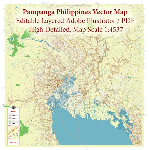
A general overview of the industrial history, port, and road system in Pampanga, Philippines.
Vectormap.Net provide you with the most accurate and up-to-date vector maps in Adobe Illustrator, PDF and other formats, designed for editing and printing. Please read the vector map descriptions carefully.
Industrial History:
1. Agriculture: Pampanga has a rich agricultural history and is known as the “Rice Granary of the Philippines.” The province is highly productive in rice cultivation, with vast rice fields contributing significantly to the country’s agricultural output.
2. Clark Freeport Zone: The Clark Freeport Zone, located in Pampanga, is a significant industrial and business hub. It was formerly the Clark Air Base, a United States Air Force base. After the eruption of Mount Pinatubo in 1991, which led to the abandonment of the base, it was transformed into the Clark Freeport Zone. The zone hosts various industries, including manufacturing, information technology, aviation, and business process outsourcing.
3. Manufacturing and Export: Pampanga is home to various manufacturing and export-oriented industries. These include electronics, textiles, food processing, and other light industries. The province’s strategic location and infrastructure make it an attractive destination for businesses.
Port System:
Pampanga itself doesn’t have a major seaport, as it is an inland province. However, the nearby Subic Bay Freeport Zone in Zambales, which is relatively close to Pampanga, serves as a significant port and logistics hub. Subic Bay serves both import and export activities and plays a crucial role in the economic development of the region.
Road System:
Pampanga has a well-developed road network that connects it to various parts of Luzon and the rest of the Philippines. The North Luzon Expressway (NLEX) and the Subic-Clark-Tarlac Expressway (SCTEX) are major highways that pass through or near Pampanga. These expressways enhance transportation efficiency, facilitating the movement of goods and people to and from the province.
The McArthur Highway, also known as the Manila North Road, is a significant road that traverses Pampanga. It is a major artery for both passenger and freight traffic. Local roads connect the municipalities and cities within the province, contributing to the overall accessibility and development of the area.
For the most current and detailed information, especially regarding any recent developments or changes, it is recommended to consult local government sources, transportation authorities, or recent publications.


 Author: Kirill Shrayber, Ph.D. FRGS