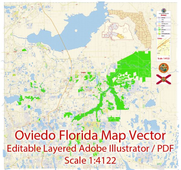
Oviedo, Florida, is a city located in Seminole County, part of the Orlando metropolitan area.
Vectormap.Net provide you with the most accurate and up-to-date vector maps in Adobe Illustrator, PDF and other formats, designed for editing and printing. Please read the vector map descriptions carefully.
Oviedo is known for its suburban atmosphere, good schools, and parks. The city has a mix of residential, commercial, and recreational areas. Here’s a general overview of the city’s districts, communities, and street system:
- Districts and Communities:
- City Center: The heart of Oviedo, where you’ll find the city’s administrative buildings, parks, and some commercial establishments.
- Residential Areas: Oviedo consists of various residential neighborhoods and subdivisions, each with its unique character. Some notable communities may include Live Oak Reserve, Twin Rivers, Carillon, and Alafaya Woods.
- University Area: Oviedo is home to the University of Central Florida (UCF), and the city has areas dedicated to student housing and amenities.
- Street System:
- Major Roads: Oviedo is served by several major roads and highways. State Road 434 and County Road 419 are among the significant routes that traverse the city. These roads provide access to neighboring areas and the broader Orlando region.
- Local Streets: The city’s street system is typically organized in a grid pattern in many residential areas, making navigation straightforward. The layout is designed to facilitate easy access to schools, parks, and commercial areas.
- Parks and Green Spaces:
- Oviedo is known for its commitment to green spaces and parks. One such example is the Oviedo on the Park, a mixed-use development featuring a town center, recreational areas, and a cultural center. The Riverside Park by Lake Jesup is another notable outdoor space.
- Schools:
- Oviedo is served by Seminole County Public Schools, and it has several public and private schools catering to students of different age groups. Some of the schools in the area include Hagerty High School, Oviedo High School, and Lawton Chiles Middle School.
It’s important to note that cities can undergo changes and developments over time. For the most up-to-date and detailed information about Oviedo’s districts, communities, and street system, it is recommended to contact the city’s local government, visit their official website, or explore local community resources.


 Author: Kirill Shrayber, Ph.D. FRGS