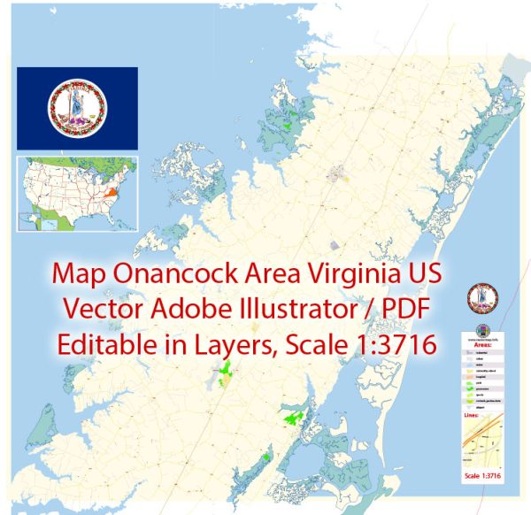
Onancock is a historic town located on the Eastern Shore of Virginia, United States.
Vectormap.Net provide you with the most accurate and up-to-date vector maps in Adobe Illustrator, PDF and other formats, designed for editing and printing. Please read the vector map descriptions carefully.
Districts and Communities:
- Downtown Onancock:
- The heart of Onancock is its historic downtown area, which is known for its charming streets, historic architecture, and a variety of shops, restaurants, and cultural attractions. The downtown area is near the waterfront and offers picturesque views.
- Onancock Historic District:
- This district encompasses the historic core of Onancock and is listed on the National Register of Historic Places. It features well-preserved 19th and early 20th-century architecture.
- North Street Area:
- North Street is one of the prominent streets in Onancock, and the surrounding area may include residential neighborhoods and community facilities.
- Market Street Area:
- Market Street is another important thoroughfare in Onancock. This area may include a mix of residential and commercial properties.
- Onancock Wharf:
- Located along the waterfront, the Onancock Wharf is a scenic area with access to the Chesapeake Bay. It may have recreational facilities, parks, and possibly maritime-related businesses.
- Schools and Institutional Areas:
- Onancock is likely to have educational institutions, churches, and other community facilities distributed throughout the town.
Street System:
- Downtown Streets:
- Main streets in the downtown area may include Market Street, North Street, and other intersecting streets with shops, restaurants, and historic sites.
- Water Street:
- Running parallel to the waterfront, Water Street may offer scenic views of the Chesapeake Bay.
- Navigation and Grid System:
- Onancock’s street system likely includes a combination of grid patterns and older, more irregular street layouts common in historic towns.
- Route 13:
- U.S. Route 13 is a major highway that runs near Onancock, providing connectivity to other parts of the Eastern Shore and beyond.
- Residential Areas:
- Residential neighborhoods may be found throughout the town, with a mix of historic homes and more modern developments.
It’s essential to consult local maps, city planning documents, or visit the town’s official website for the most up-to-date and detailed information about Onancock’s districts, communities, and street system. Local sources and community organizations can provide insights into the unique character and recent developments in the area.


 Author: Kirill Shrayber, Ph.D. FRGS