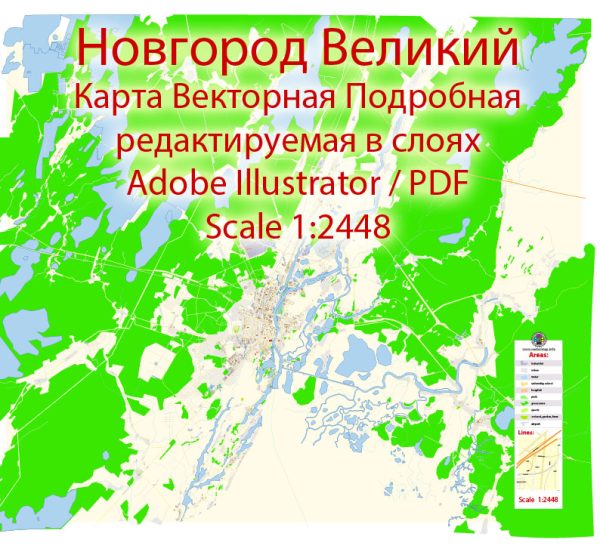
A general overview of the roads and streets infrastructure in Novgorod Veliky, Russia.
Vectormap.Net provide you with the most accurate and up-to-date vector maps in Adobe Illustrator, PDF and other formats, designed for editing and printing. Please read the vector map descriptions carefully.
Novgorod Veliky, also known as Veliky Novgorod or Great Novgorod, is one of the most ancient and historically significant cities in Russia. It is located in the northwestern part of the country, about 160 kilometers southwest of St. Petersburg.
- Historical Layout: Novgorod Veliky has a well-preserved historic center, which includes the Kremlin (Detinets) and the St. Sophia Cathedral. The city’s layout reflects its long history, with narrow winding streets and historic buildings that showcase various architectural styles.
- Main Streets: The city has several main streets that connect key areas and historical sites. Among them are:
- Bolshaya Moskovskaya Ulitsa: This is one of the main streets in the city, running from the Volkhov River to the Novgorod Kremlin. It is lined with shops, cafes, and historical buildings.
- Sofiyskaya Naberezhnaya: This embankment along the Volkhov River offers picturesque views and is a popular spot for both locals and tourists.
- Transportation: Novgorod Veliky is well-connected by road, and there are various transportation options available:
- Roads and Highways: The city is accessible by the M10 federal highway, which connects Moscow and St. Petersburg. Local roads and streets provide connectivity within the city and to nearby regions.
- Public Transport: The city likely has a public transportation system, including buses and possibly trolleybuses, to facilitate local commuting.
- Infrastructure Developments: Like many cities, Novgorod Veliky may have experienced infrastructure developments and improvements over the years. This could include road maintenance, modernization projects, and efforts to enhance traffic flow.
- Pedestrian Areas: Given the historical nature of the city, there are likely pedestrian-friendly areas in the city center. These areas may be characterized by cobblestone streets and a mix of historical and commercial buildings.
- Parking Facilities: Novgorod Veliky likely has designated parking areas to accommodate both residents and visitors. Parking facilities may be available in the city center and near key attractions.
For the most accurate and current information regarding Novgorod Veliky’s roads and streets infrastructure, I recommend checking with local authorities, official city websites, or recent travel guides.


 Author: Kirill Shrayber, Ph.D.