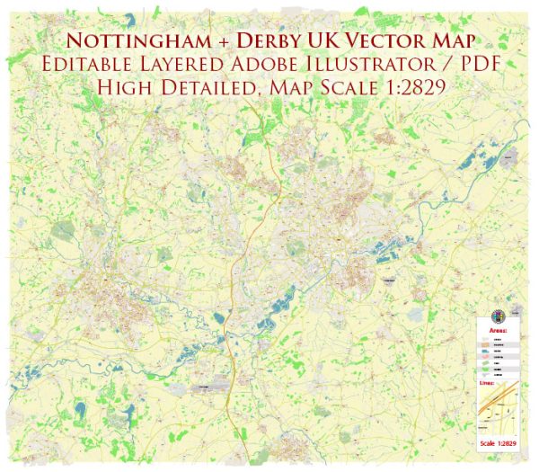
A general overview of Nottingham and Derby in the United Kingdom.
Vectormap.Net provide you with the most accurate and up-to-date vector maps in Adobe Illustrator, PDF and other formats, designed for editing and printing. Please read the vector map descriptions carefully.
Nottingham:
- City Centre:
- The heart of Nottingham, featuring landmarks like Old Market Square, Nottingham Castle, and the Council House.
- Major shopping areas, restaurants, and entertainment venues are concentrated here.
- Hockley:
- Known for its vibrant arts and culture scene, Hockley is home to independent shops, galleries, and theaters.
- Sneinton:
- A diverse and evolving area with a mix of residential and industrial spaces.
- The Meadows:
- Located south of the city center, characterized by parks and residential areas.
- Radford:
- Predominantly a residential area with a mix of housing types.
- Sherwood:
- A suburb known for its residential areas, parks, and the Sherwood Forest.
- Lenton:
- Home to the University of Nottingham’s main campus, with a mix of student housing and residential areas.
Derby:
- City Centre:
- The central business district with shopping areas, restaurants, and historical landmarks like the Cathedral Quarter.
- Alvaston:
- Located to the southeast of the city center, Alvaston is primarily a residential area.
- Chaddesden:
- Another residential area with schools and parks.
- Darley Abbey:
- A historic area with a village atmosphere, known for its picturesque surroundings.
- Littleover:
- A suburban area with schools, parks, and residential neighborhoods.
- Mickleover:
- A residential suburb with schools, parks, and local amenities.
- Sinfin:
- Located to the southwest, Sinfin is a mix of residential and industrial areas.
Street Systems:
Both Nottingham and Derby have well-developed road networks. In the city centers, you’ll find a mix of main thoroughfares, pedestrianized zones, and public transportation hubs. Notable streets in Nottingham include Market Street, Maid Marian Way, and Derby Road. In Derby, streets like St Peter’s Street, Irongate, and Victoria Street are important.
For the most accurate and up-to-date information, I recommend checking with local authorities or using online mapping services for specific details on districts, communities, and street systems in Nottingham and Derby.


 Author: Kirill Shrayber, Ph.D. FRGS