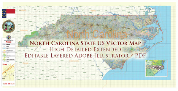
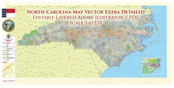
North Carolina, located in the southeastern region of the United States, is a diverse state with a mix of urban and rural areas, beautiful landscapes, and a rich history.
Vectormap.Net provide you with the most accurate and up-to-date vector maps in Adobe Illustrator, PDF and other formats, designed for editing and printing. Please read the vector map descriptions carefully.
Here’s a detailed description of the cities, towns, roads, and maritime infrastructure in North Carolina:
Cities:
- Raleigh: The capital of North Carolina, Raleigh is part of the Research Triangle Park, known for its high-tech research and education institutions.
- Charlotte: The largest city in the state, Charlotte is a major financial hub and a center for business and commerce.
- Durham: Known for its historic tobacco industry, Durham is also part of the Research Triangle and is home to Duke University.
- Greensboro: A city with a strong manufacturing history, Greensboro is now a center for education and culture.
- Winston-Salem: Famous for its history in the tobacco and textile industries, Winston-Salem is now a growing city with a diverse economy.
- Fayetteville: Home to Fort Bragg, one of the largest military installations in the world, Fayetteville has a strong military presence.
- Asheville: Nestled in the Blue Ridge Mountains, Asheville is known for its vibrant arts scene, historic architecture, and outdoor activities.
- Wilmington: A coastal city, Wilmington has a historic downtown area, beautiful beaches, and is a significant port.
Towns:
- Chapel Hill: Home to the University of North Carolina at Chapel Hill, this town is part of the Research Triangle and has a vibrant college atmosphere.
- Cary: A suburb of Raleigh, Cary is known for its family-friendly neighborhoods and parks.
- Hickory: Once a major center for furniture manufacturing, Hickory has diversified its economy but retains its historical charm.
- High Point: Famous for its furniture industry, High Point hosts the High Point Market, the world’s largest home furnishings trade show.
- Outer Banks: A series of barrier islands along the coast, the Outer Banks are known for their natural beauty, lighthouses, and historical sites.
Roads:
- Interstate 40 (I-40): Runs east-west across the state, connecting major cities like Raleigh, Durham, Greensboro, and Asheville.
- Interstate 85 (I-85): Travels north-south, connecting Charlotte, Greensboro, and Durham.
- US Route 1 (US-1): Runs north-south and connects major cities like Raleigh and Rockingham.
- US Route 74 (US-74): An east-west route connecting Charlotte and Wilmington.
- Blue Ridge Parkway: A scenic highway running through the Appalachian Highlands, offering breathtaking views.
Maritime Infrastructure:
- Port of Wilmington: A major deep-water port on the Cape Fear River, handling container and bulk cargo.
- Port of Morehead City: Situated on the Intracoastal Waterway, it is a key port for the export of phosphate and bulk cargo.
- Intracoastal Waterway: A network of bays, rivers, and canals that provides a protected inland route for commercial traffic, especially for smaller vessels.
- Cape Fear River: A vital waterway for transportation and commerce, flowing through Wilmington and providing access to the Atlantic Ocean.
North Carolina’s diverse geography, from the mountains to the coast, contributes to its economic and cultural richness. The state’s cities, towns, roads, and maritime infrastructure collectively shape its identity and contribute to its significance in the southeastern United States.


 Author: Kirill Shrayber, Ph.D. FRGS