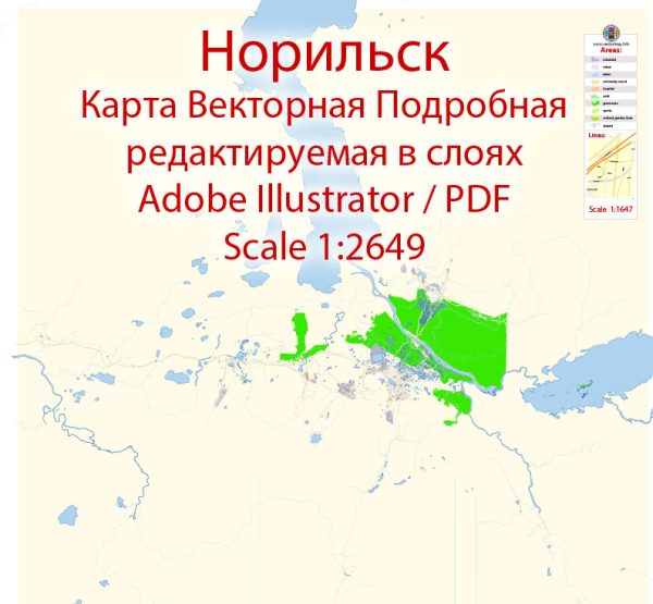
Norilsk is a city located in the Taimyr Peninsula of northern Siberia, Russia. It is known for being one of the northernmost cities in the world and is an important center for the mining and metallurgical industries.
Vectormap.Net provide you with the most accurate and up-to-date vector maps in Adobe Illustrator, PDF and other formats, designed for editing and printing. Please read the vector map descriptions carefully.
Here is a detailed overview of the history and transportation infrastructure of Norilsk:
History:
- Foundation and Development:
- Norilsk was founded in the 1930s as a result of the discovery of rich nickel-copper-palladium deposits in the region. The city’s growth was rapid, driven by the development of mining and metallurgical operations.
- The construction of Norilsk was carried out using forced labor, including prisoners from the GULAG system. The harsh climate and challenging conditions contributed to the city’s reputation as one of the most challenging places to live on Earth.
- Soviet Era:
- During the Soviet era, Norilsk played a crucial role in the industrialization of the country. It became a major producer of nickel, copper, and other metals.
- The city was closed to foreigners until the 1990s due to its strategic importance in metal production and its proximity to military facilities.
- Post-Soviet Period:
- With the collapse of the Soviet Union, Norilsk experienced economic challenges, but it continued to be a key player in the global metal market.
- In the 2000s, Norilsk Nickel, one of the world’s largest nickel and palladium producers, faced environmental and social challenges, including pollution and disputes with local indigenous communities.
Transportation Infrastructure:
- Air Transportation:
- Norilsk is served by the Alykel Airport, which has regular flights connecting the city to major Russian cities. The airport plays a crucial role in the transportation of people and goods to and from Norilsk.
- Rail Transportation:
- The city is connected to the Trans-Siberian Railway, providing a vital link for the transportation of goods. The railway connects Norilsk to other major industrial and population centers in Russia.
- Road Transportation:
- Norilsk is not connected to the rest of the Russian road network due to its remote location and challenging Arctic climate. However, within the city, there is an extensive network of roads and streets.
- Sea Transportation:
- Although Norilsk is located far inland, it has a port on the Yenisei River, which is used for the transportation of goods during the ice-free months. The river is a key waterway for transporting materials to and from the city.
- Infrastructure Challenges:
- The transportation infrastructure in Norilsk faces challenges due to the extreme Arctic conditions. Ice and snow can affect road and rail transportation, making it necessary to implement specialized infrastructure and equipment to cope with the harsh climate.
Norilsk’s history is closely tied to its role as a major mining and metallurgical center. The city’s transportation infrastructure is designed to facilitate the movement of resources to and from this remote Arctic location, overcoming the unique challenges posed by its extreme climate and geographical isolation.


 Author: Kirill Shrayber, Ph.D.