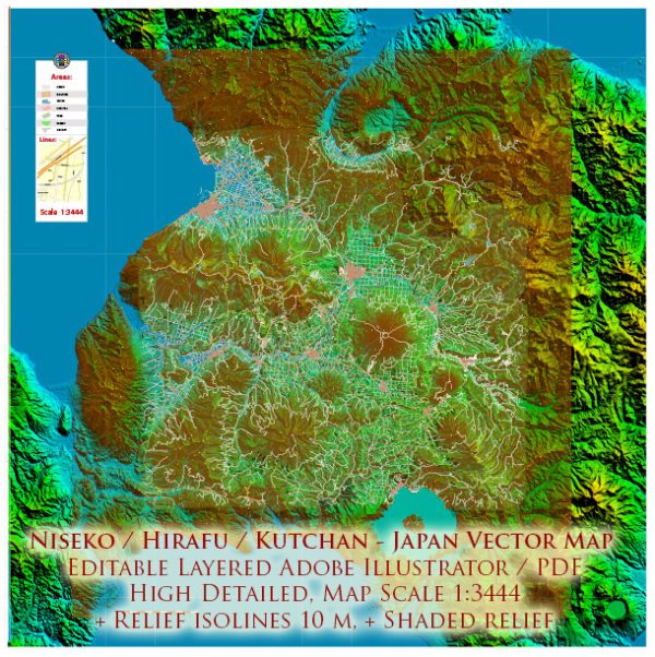
Niseko, Hirafu, and Kutchan are well-known destinations in the Niseko region of Hokkaido, Japan. The area is primarily famous for its ski resorts, beautiful landscapes, and outdoor activities.
Vectormap.Net provide you with the most accurate and up-to-date vector maps in Adobe Illustrator, PDF and other formats, designed for editing and printing. Please read the vector map descriptions carefully.
Here’s a detailed overview of the economic and transport connections in the Niseko, Hirafu, and Kutchan areas:
Economic Overview:
- Tourism: The economy of Niseko, Hirafu, and Kutchan is heavily reliant on tourism, particularly during the winter season. The area attracts both domestic and international tourists for its world-class skiing and snowboarding facilities, as well as its scenic beauty.
- Hospitality and Accommodation: The region has seen significant development in terms of accommodation and hospitality infrastructure. Numerous hotels, resorts, and traditional Japanese inns (ryokans) cater to the needs of tourists, providing a range of options for different budgets.
- Outdoor Recreation: Besides winter sports, the area offers outdoor activities throughout the year, including hiking, mountain biking, and golf during the warmer months. This diversification contributes to the local economy and attracts visitors in various seasons.
Transport Connections:
- Air Travel: The nearest major airport to Niseko, Hirafu, and Kutchan is New Chitose Airport (CTS) in Sapporo. From the airport, visitors can take various transportation options to reach the Niseko area, including buses, shuttles, and rental cars.
- Shuttle Buses and Taxis: Shuttle buses and taxis provide transportation within the Niseko area, making it easy for visitors to travel between different villages and resorts. Hirafu and Kutchan are two key locations in this network.
- Rail Travel: While there isn’t a direct train station in Niseko, the JR Kutchan Station serves as a transportation hub for the region. Trains run between Sapporo and Kutchan, providing an alternative means of transportation.
- Road Network: Well-maintained roads connect Niseko, Hirafu, and Kutchan, allowing for easy travel by car or bus. The area is accessible by road from major cities in Hokkaido.
- Local Transportation: Within each village, there are local transportation options, including buses and taxis, making it convenient for visitors to explore the surrounding areas.
- Ski Lifts and Gondolas: During the winter season, ski lifts and gondolas are crucial for transporting visitors to and from the slopes. Hirafu and Niseko United resorts have an interconnected lift system, allowing skiers and snowboarders to explore multiple areas.
It’s recommended to check for the latest transportation schedules, especially during peak tourist seasons, to plan your journey effectively. Additionally, developments and improvements in infrastructure may have occurred since my last update.


 Author: Kirill Shrayber, Ph.D. FRGS