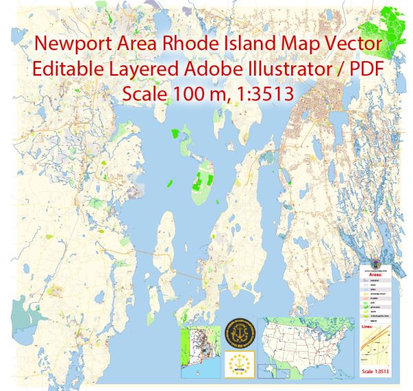
Newport, Rhode Island, is a historic city known for its colonial architecture, maritime heritage, and vibrant cultural scene.
Vectormap.Net provide you with the most accurate and up-to-date vector maps in Adobe Illustrator, PDF and other formats, designed for editing and printing. Please read the vector map descriptions carefully.
Here’s a detailed overview of its history, port, and transportation infrastructure:
History:
- Colonial Era: Newport was founded in 1639 by a group of settlers led by William Coddington and others. It quickly became a major trading port due to its strategic location on Aquidneck Island.
- Revolutionary War: During the American Revolution, Newport played a significant role. The city was occupied by British forces from 1776 to 1779. The Battle of Rhode Island, a failed attempt to recapture the city, took place in 1778.
- Gilded Age: In the late 19th century, Newport experienced a period of great wealth and opulence known as the Gilded Age. The Astors, Vanderbilts, and other wealthy families built elaborate mansions, many of which are now preserved as historic landmarks.
- Naval History: Newport has a strong naval tradition. The United States Naval War College was established in Newport in 1884. The city also served as a major training center for the Navy during both World Wars.
Port:
- Historic Seaport: Newport’s harbor has been a vital seaport since its early days. It has witnessed centuries of maritime activity, from colonial trade to naval operations.
- Yachting Capital: Newport is renowned as the yachting capital of the world. The New York Yacht Club, founded in 1844, has its clubhouse in Newport. The city has hosted the America’s Cup, one of the oldest and most prestigious sailing competitions.
- Commercial and Fishing Activities: While Newport’s port has historical significance, it is not a major commercial port today. However, it supports local fishing activities and recreational boating.
Transportation Infrastructure:
- Roads and Highways: Newport is accessible by road via the Newport Pell Bridge, connecting the city to Jamestown and the mainland. Several state highways also provide access to Newport.
- Public Transportation: Rhode Island Public Transit Authority (RIPTA) buses connect Newport with other parts of Rhode Island. There are also trolley tours that offer a convenient way for tourists to explore the city.
- Rail: Newport does not have a direct rail connection. The nearest Amtrak station is in Providence, from where travelers can take buses or taxis to reach Newport.
- Airports: T.F. Green Airport in Warwick is the nearest major airport, located about 30 miles away. Newport State Airport is a smaller facility primarily serving general aviation.
- Tourism: The city is pedestrian-friendly, and walking is a popular way to explore its historic sites and scenic waterfront. Additionally, biking is a common mode of transportation for both locals and visitors.
In summary, Newport, Rhode Island, boasts a rich history, a historic port with maritime significance, and a diverse transportation infrastructure that caters to both residents and tourists. Its blend of colonial charm, naval heritage, and cultural attractions makes it a unique destination on the East Coast of the United States.


 Author: Kirill Shrayber, Ph.D. FRGS