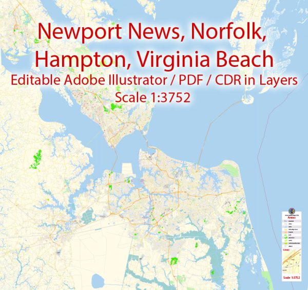
Newport News, Norfolk, Virginia Beach, and Hampton are cities located in the Hampton Roads region of Virginia, USA. This area is known for its significant economic and strategic importance due to its large natural harbor and proximity to military installations.
Vectormap.Net provide you with the most accurate and up-to-date vector maps in Adobe Illustrator, PDF and other formats, designed for editing and printing. Please read the vector map descriptions carefully.
Economic Connections:
- Port Facilities: The Port of Virginia, one of the largest on the East Coast, plays a crucial role in the economic connectivity of Newport News, Norfolk, and Hampton. These cities have extensive port facilities handling various goods, including containers, bulk cargo, and military shipments.
- Military Presence: The region hosts several military installations, including Naval Station Norfolk, the largest naval base in the world. The military presence contributes significantly to the local economies through defense spending, employment, and related industries.
- Shipbuilding and Defense Industry: Newport News is home to Newport News Shipbuilding, a major shipyard that plays a key role in the construction and maintenance of naval vessels. This industry contributes substantially to the economic vitality of the region.
- Tourism: Virginia Beach is a popular tourist destination with its beaches, boardwalk, and various recreational activities. Tourism is a significant economic driver, contributing to the hospitality, entertainment, and service sectors.
- Education and Research: The area is home to several universities and research institutions, such as Old Dominion University and the NASA Langley Research Center. These institutions contribute to the knowledge economy and foster innovation.
Transport Connections:
- Highways: The region is well-connected by major highways, including I-64, which connects these cities and facilitates the movement of goods and people. Additionally, I-664 provides a connection between Newport News and Suffolk.
- Bridges and Tunnels: The Hampton Roads Bridge-Tunnel and the Monitor-Merrimac Memorial Bridge-Tunnel are critical transportation links that connect the cities across the waterways.
- Public Transportation: The Hampton Roads area has a public transportation network that includes buses and light rail services. Hampton Roads Transit (HRT) operates public transit services connecting various parts of the region.
- Airports: Norfolk International Airport serves as a major airport in the region, providing air connectivity for both passengers and cargo. Newport News/Williamsburg International Airport also serves the area.
- Port Facilities: As mentioned earlier, the Port of Virginia, with terminals in Norfolk and Portsmouth, is a vital hub for maritime transportation, facilitating the movement of goods globally.
It’s important to note that economic and transport connections in any region are subject to change, and developments may have occurred since my last update. For the most current and specific information, it’s recommended to consult local government sources, transportation authorities, and economic development agencies.


 Author: Kirill Shrayber, Ph.D. FRGS