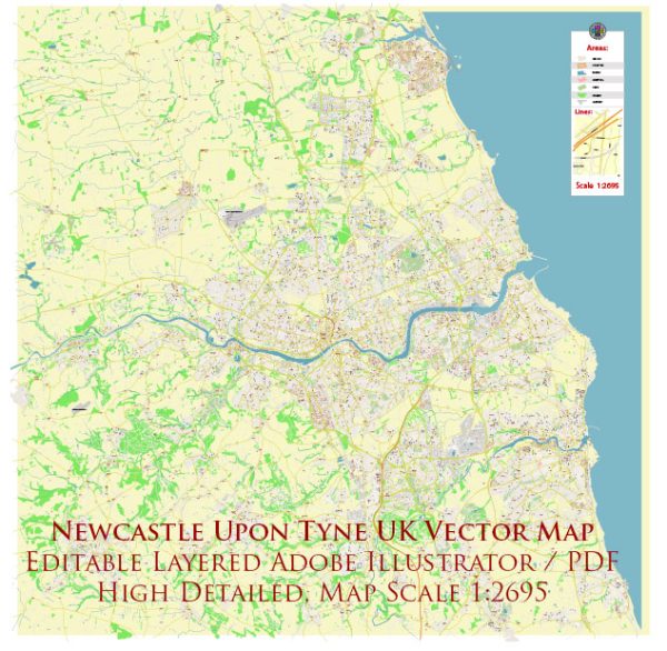
A general overview of the roads and streets infrastructure in Newcastle upon Tyne, UK.
Vectormap.Net provide you with the most accurate and up-to-date vector maps in Adobe Illustrator, PDF and other formats, designed for editing and printing. Please read the vector map descriptions carefully.
Newcastle upon Tyne is a city in the northeast of England, and its road infrastructure is an essential part of the transportation network. Here are key aspects of the roads and streets infrastructure in Newcastle:
- Road Network:
- Motorways: The city is well-connected to the national motorway network. The A1(M) runs to the west of the city and provides a major north-south route. The A69 connects Newcastle to Carlisle and the west.
- A Roads: Several major A roads traverse the city, providing connectivity to neighboring towns and regions. Examples include the A167, A184, and A1058.
- Bridges:
- Tyne Bridge: One of the most iconic structures in Newcastle, the Tyne Bridge spans the River Tyne, connecting the city with Gateshead on the south bank. It’s a key transportation link and a recognizable landmark.
- Other Bridges: There are several other bridges spanning the River Tyne, such as the High Level Bridge and the Swing Bridge. Each plays a crucial role in facilitating movement between Newcastle and neighboring areas.
- City Center Streets:
- Grainger Town: Newcastle’s historic city center, Grainger Town, features a network of streets with a mix of shops, restaurants, and cultural attractions. Grey Street, often regarded as one of the most beautiful streets in the UK, is located in this area.
- Quayside: The Quayside area along the River Tyne is known for its waterfront, bars, and restaurants. The streets in this district are popular for leisurely walks and events.
- Public Transportation:
- Bus Services: The city has an extensive bus network operated by several companies, providing transportation within Newcastle and to nearby areas.
- Metro: The Tyne and Wear Metro system serves the Newcastle metropolitan area, providing efficient light rail services connecting various parts of the city.
- Cycling and Pedestrian Infrastructure:
- Efforts have been made to improve cycling and pedestrian infrastructure in Newcastle. Dedicated bike lanes, pedestrian zones, and green spaces contribute to a more walkable and bike-friendly environment.
- Traffic Management:
- Traffic management measures are implemented to regulate traffic flow, especially in busy areas. This includes the use of traffic signals, road signs, and, if necessary, restrictions during peak hours.


 Author: Kirill Shrayber, Ph.D. FRGS