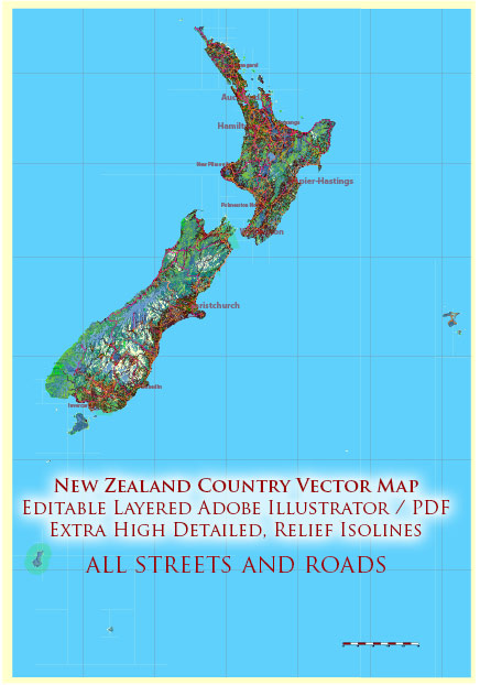
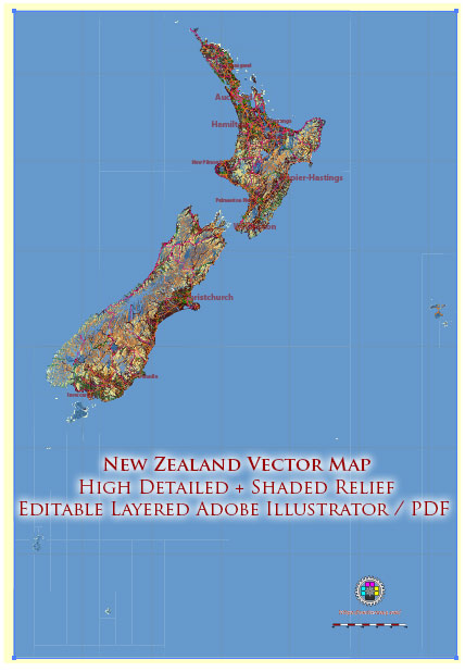
New Zealand is a country known for its stunning landscapes, diverse geography, and vibrant cities.
Vectormap.Net provide you with the most accurate and up-to-date vector maps in Adobe Illustrator, PDF and other formats, designed for editing and printing. Please read the vector map descriptions carefully.
Here’s a brief overview of some of the main cities, towns, and principal roads in New Zealand:
Main Cities:
- Auckland:
- Auckland is the largest city in New Zealand, located in the North Island.
- It is known as the “City of Sails” due to its harbors and sailing culture.
- Key attractions include the Sky Tower, Auckland War Memorial Museum, and Viaduct Harbour.
- Wellington:
- The capital city of New Zealand, situated at the southern tip of the North Island.
- Wellington is known for its vibrant arts scene, government institutions, and the iconic Beehive building.
- The city hosts numerous cultural events, including the New Zealand International Arts Festival.
- Christchurch:
- The largest city in the South Island, Christchurch is known as the “Garden City” for its extensive parks and gardens.
- The city has been undergoing reconstruction since the 2011 earthquake, and the Christchurch Botanic Gardens are a popular attraction.
- Hamilton:
- Located in the Waikato region of the North Island, Hamilton is known for its education and research institutions, including the University of Waikato.
- The Hamilton Gardens and the Waikato Museum are popular attractions.
- Dunedin:
- Dunedin is the principal city in the Otago region of the South Island.
- It has a strong Scottish heritage and is known for its Victorian and Edwardian architecture, such as the Dunedin Railway Station.
Main Towns:
- Queenstown:
- Located in the South Island, Queenstown is a popular tourist destination known for its stunning lakeside setting and adventure activities.
- It’s a hub for skiing, bungee jumping, and other outdoor pursuits.
- Rotorua:
- Situated in the Bay of Plenty on the North Island, Rotorua is known for its geothermal activity, hot springs, and Maori culture.
- Te Puia and Whakarewarewa Thermal Village are notable attractions.
- Napier-Hastings:
- These twin cities are in the Hawke’s Bay region on the North Island.
- Known for their Art Deco architecture, the result of rebuilding after a 1931 earthquake.
- Nelson:
- Located at the top of the South Island, Nelson is known for its sunny weather, arts and crafts, and outdoor activities.
- Abel Tasman National Park is nearby, offering beautiful coastal landscapes.
Principal Roads:
- State Highway 1 (SH1):
- The longest and most significant highway in New Zealand, connecting major cities and towns from Cape Reinga in the North to Bluff in the South.
- State Highway 2 (SH2):
- Runs through the North Island, connecting Auckland to Wellington, passing through cities like Hamilton and Tauranga.
- State Highway 6 (SH6):
- A key highway in the South Island, passing through Nelson and Queenstown and offering stunning scenic drives.
- State Highway 8 (SH8):
- Connects the east and west coasts of the South Island, passing through towns like Twizel and Cromwell.
These descriptions provide a glimpse into the diversity and beauty of New Zealand’s cities, towns, and roadways, but there is much more to explore in this picturesque country.


 Author: Kirill Shrayber, Ph.D. FRGS