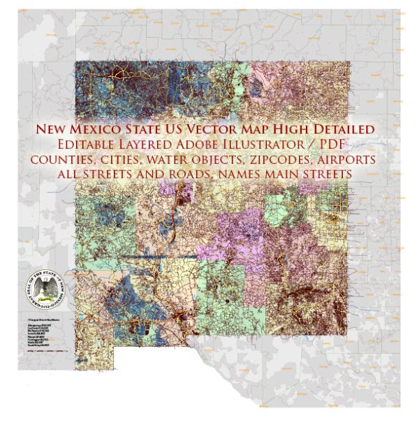
A general overview of the transportation infrastructure in the state of New Mexico, USA.
Vectormap.Net provide you with the most accurate and up-to-date vector maps in Adobe Illustrator, PDF and other formats, designed for editing and printing. Please read the vector map descriptions carefully.
- Roads and Highways:
- New Mexico has an extensive network of roads and highways that connect various cities and towns. Major interstate highways passing through the state include I-25, I-40, and I-10.
- State highways are maintained by the New Mexico Department of Transportation (NMDOT), which oversees road construction, maintenance, and improvements.
- Public Transit:
- Public transportation options are limited compared to more densely populated states. Larger cities like Albuquerque and Santa Fe have bus services operated by local transit authorities.
- The Rail Runner Express, a commuter train, connects Albuquerque to Santa Fe and other communities in the region.
- Airports:
- The state is served by several airports, with Albuquerque International Sunport being the largest and busiest. It offers domestic and limited international flights.
- Other notable airports include Santa Fe Municipal Airport, Roswell International Air Center, and El Paso International Airport (located near the state border).
- Railroads:
- Railroads play a crucial role in transporting goods across the state. Both freight and passenger services are provided by companies like BNSF Railway and Union Pacific.
- Amtrak’s Southwest Chief route stops in several cities in New Mexico, connecting Chicago to Los Angeles.
- Ports and Waterways:
- New Mexico is a landlocked state, so it lacks major ports. However, the state has some rivers, including the Rio Grande, which historically played a role in transportation.
- The use of waterways for transportation is limited, and the state relies more on roads and railways for cargo transportation.
- Bicycle and Pedestrian Infrastructure:
- Efforts have been made in various cities to improve infrastructure for cyclists and pedestrians. This includes bike lanes, pedestrian-friendly streets, and recreational trails.
- Technology and Innovation:
- Like many states, New Mexico is incorporating technology into its transportation infrastructure, such as Intelligent Transportation Systems (ITS) to improve traffic flow and safety.
- Challenges and Future Developments:
- Some challenges in New Mexico’s transportation infrastructure include maintenance needs, funding issues, and addressing the transportation needs of rural areas.
- There may be ongoing or planned projects for infrastructure development and improvement, such as road expansions or the introduction of new transit options.
For the most current and detailed information, I recommend checking with local transportation authorities, government agencies, or official publications related to New Mexico’s transportation infrastructure.


 Author: Kirill Shrayber, Ph.D. FRGS