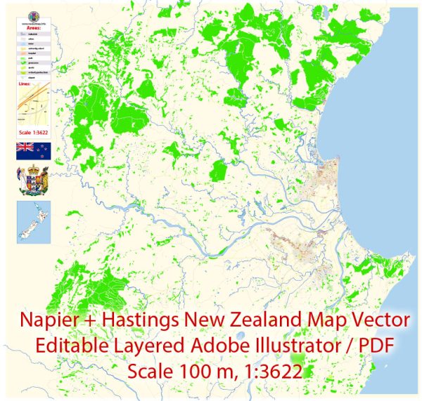
Napier and Hastings are neighboring cities located in the Hawke’s Bay region on the North Island of New Zealand.
Vectormap.Net provide you with the most accurate and up-to-date vector maps in Adobe Illustrator, PDF and other formats, designed for editing and printing. Please read the vector map descriptions carefully.
Economic Connections:
- Agriculture and Viticulture: The Hawke’s Bay region is known for its fertile soils, making it a significant agricultural and horticultural hub. Both Napier and Hastings contribute to the region’s economy through activities such as fruit orchards, vineyards, and pastoral farming.
- Wine Industry: The area is renowned for its wine production, particularly its red wines. Wineries in and around Napier and Hastings play a vital role in the local economy and contribute to New Zealand’s global reputation as a wine-producing nation.
- Tourism: The region attracts tourists, partly due to its Art Deco architecture in Napier, beautiful landscapes, and the cultural events held in the area. Tourism-related activities, such as accommodations, restaurants, and attractions, contribute to the local economy.
- Port of Napier: The Port of Napier is a significant economic asset for the region. It is one of New Zealand’s largest and most efficient ports, handling exports such as logs, timber, and agricultural products. The port’s operations contribute to the economic vitality of both Napier and Hastings.
Transport Connections:
- Roads: The cities are well-connected by road infrastructure. State Highway 2 (SH2) passes through both Napier and Hastings, providing a major transportation route within the North Island. The Hawke’s Bay Expressway connects the two cities, ensuring efficient road travel.
- Airport: Hawke’s Bay Airport, located near Napier, serves the region. The airport facilitates domestic flights, connecting the area to major cities within New Zealand. It plays a crucial role in supporting tourism and business travel.
- Port: The Port of Napier is a crucial transport hub, handling both import and export activities. It facilitates the transportation of goods to and from the region, connecting Hawke’s Bay to international markets.
- Railway: While New Zealand’s railway network is not as extensive as its road network, rail transportation still plays a role in connecting regions. The Main North Line railway passes through the region, providing a freight link for goods transportation.
- Public Transport: Both Napier and Hastings have local bus services, providing public transportation within the cities and the wider region. These services are essential for residents and visitors who rely on public transport.


 Author: Kirill Shrayber, Ph.D.