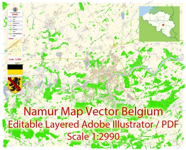
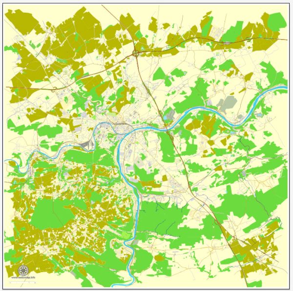
Namur, the capital city of the Wallonia region in Belgium, has a rich urban history that spans centuries. The city is situated at the confluence of the Meuse and Sambre rivers, which has played a significant role in its development.
Vectormap.Net provide you with the most accurate and up-to-date vector maps in Adobe Illustrator, PDF and other formats, designed for editing and printing. Please read the vector map descriptions carefully.
Here is a detailed overview of the urban history and street system of Namur:
Urban History:
- Medieval Origins: Namur’s history dates back to medieval times when it was a strategic fortress town. The construction of the Citadel of Namur began in the 10th century, and it played a crucial role in the defense of the region.
- Burgundian and Habsburg Periods: Namur was often at the center of conflicts during the Burgundian and Habsburg periods. The city changed hands several times, experiencing both prosperity and destruction.
- 17th Century: In the 17th century, under the Spanish Crown, Namur became a major military stronghold. The fortifications were expanded, and the city walls were reinforced.
- French Occupation: Like much of Belgium, Namur fell under French control during the Napoleonic era. The Citadel underwent further modifications during this period.
- Belgian Independence: After the Belgian Revolution in 1830, Namur became part of the newly established Kingdom of Belgium. The Citadel lost its military importance, and the city gradually transformed into an administrative and cultural center.
- Industrialization and Modernization: The late 19th and early 20th centuries witnessed industrialization in Namur, contributing to economic growth. The cityscape evolved with the construction of new buildings and infrastructure.
- World Wars: Namur suffered damage during both World Wars, but post-World War II reconstruction efforts contributed to the modernization of the city.
- Contemporary Era: Namur has continued to develop as a regional hub, emphasizing its cultural and historical significance. The Citadel, now a UNESCO World Heritage site, attracts tourists, and the city has diversified its economic activities.
Street System:
Namur’s street system reflects its historical development and urban planning. Some notable aspects include:
- City Center: The heart of Namur features a mix of narrow medieval streets and more open, modern areas. The city center is characterized by a blend of historical architecture and contemporary structures.
- Citadel Approach: The road leading to the Citadel provides panoramic views of the city and the rivers. It is a significant route for both tourists and locals.
- Quartiers: Namur is divided into various neighborhoods or quartiers, each with its own character. These quartiers showcase different architectural styles and contribute to the city’s diverse urban fabric.
- Riverfront: The Meuse and Sambre rivers play a crucial role in Namur’s geography. The riverfront area is often a focal point for social and recreational activities.
- Public Spaces: Namur boasts several public squares and parks, providing spaces for gatherings, events, and leisure. These areas contribute to the city’s livability and sense of community.
While this overview provides a broad perspective on Namur’s urban history and street system, a more in-depth exploration would reveal additional layers of historical and cultural significance within the city.


 Author: Kirill Shrayber, Ph.D.