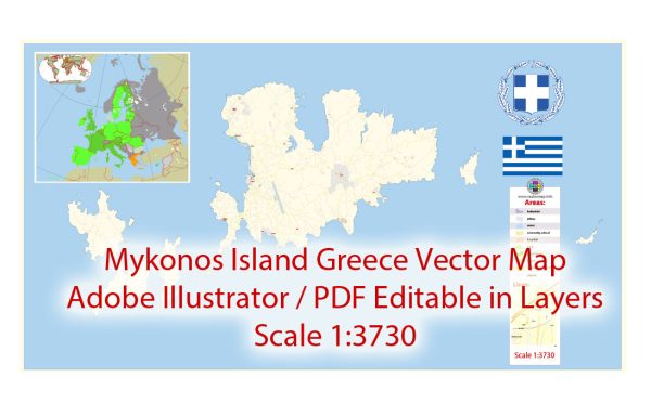
A general overview of the road and street infrastructure in Mykonos, Greece.
Vectormap.Net provide you with the most accurate and up-to-date vector maps in Adobe Illustrator, PDF and other formats, designed for editing and printing. Please read the vector map descriptions carefully.
Mykonos is a popular Greek island in the Cyclades archipelago, known for its picturesque landscapes, vibrant nightlife, and beautiful beaches. The island’s road and street infrastructure is relatively well-developed, catering to both local residents and the significant influx of tourists.
- Town of Mykonos (Chora):
- The main town, Chora, has a network of narrow winding streets, typical of traditional Greek island architecture.
- Streets are often paved with cobblestones and are pedestrian-friendly, especially in the heart of the town where cars are not allowed.
- Many streets are lined with white-washed buildings adorned with colorful doors and windows, creating a distinctive aesthetic.
- Roads and Highways:
- Mykonos has a road network connecting different parts of the island, including its beaches, villages, and the port.
- Roads may vary in quality, ranging from well-maintained highways to smaller, more rustic paths leading to less accessible areas.
- Given the island’s size, traveling by car or scooter is a common mode of transportation for both locals and visitors.
- Transportation:
- Car and scooter rentals are widely available on the island, providing flexibility for exploring various attractions.
- Public buses also operate on Mykonos, connecting major areas like Chora, Ano Mera (a village in the center of the island), and several beaches.
- Taxis are available, but their numbers might be limited, especially during peak tourist seasons.
- Beach Access:
- Some of the most popular beaches, such as Paradise Beach, Super Paradise Beach, and Ornos Beach, are accessible by well-maintained roads.
- Some smaller or more secluded beaches may require driving on narrower paths, and visitors are advised to check the road conditions before venturing to these areas.
- Parking:
- In the town of Mykonos, parking can be challenging due to limited space and high demand, especially during peak tourist times.
- Many accommodations provide parking spaces for guests, and there are public parking areas available.
- Traffic and Seasonal Considerations:
- During the high tourist season, especially in the summer months, traffic congestion can occur, particularly in and around Chora.
- It’s advisable to plan transportation and activities during off-peak hours to avoid delays.


 Author: Kirill Shrayber, Ph.D. FRGS