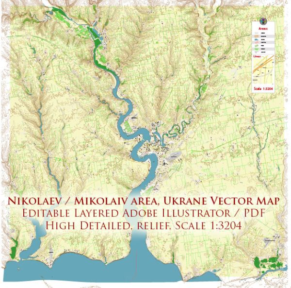
Mykolaiv, also known as Nikolaev, is a city located in southern Ukraine, situated on the banks of the Southern Bug River. It has a rich history, particularly in shipbuilding and industry.
Vectormap.Net provide you with the most accurate and up-to-date vector maps in Adobe Illustrator, PDF and other formats, designed for editing and printing. Please read the vector map descriptions carefully.
Here’s a detailed overview of the history, port, and transportation infrastructure of Mykolaiv:
History:
- Foundation and Early History:
- Mykolaiv was founded in 1789 by order of Catherine the Great of Russia as a shipbuilding center for the Black Sea Fleet.
- The city played a crucial role in the expansion of the Russian Empire’s naval power in the Black Sea.
- Shipbuilding Industry:
- Throughout the 19th and early 20th centuries, Mykolaiv became a major shipbuilding and commercial port city.
- The city’s shipyards produced various naval vessels, including battleships, cruisers, and submarines.
- World Wars and Soviet Era:
- Mykolaiv suffered significant damage during World War II, but its shipbuilding industry was rebuilt in the post-war period.
- During the Soviet era, Mykolaiv continued to be a key player in the Soviet naval and industrial complex.
- Independence and Modern Times:
- With Ukraine gaining independence in 1991, Mykolaiv became a part of the newly formed Ukrainian state.
- The city has faced economic challenges during the transition to a market economy, but efforts have been made to revitalize its industries.
Port:
- Mykolaiv Sea Commercial Port:
- The Mykolaiv Sea Commercial Port is a significant transportation hub for the region.
- It handles a variety of cargoes, including grain, ore, coal, and other commodities.
- River Port:
- The city is located on the Southern Bug River, and it has a river port that facilitates inland water transportation.
Transportation Infrastructure:
- Roads and Highways:
- Mykolaiv is well-connected by roads and highways, making it accessible by land transportation.
- The road network includes major routes connecting the city to other regions in Ukraine.
- Railways:
- The city has a railway station that connects it to the national railway network.
- Rail transport is crucial for the movement of goods and passengers.
- Public Transportation:
- Mykolaiv has a public transportation system that includes buses and trolleybuses, providing intra-city travel.
- Air Transportation:
- The city is served by the Mykolaiv International Airport, providing air connections to other Ukrainian cities and international destinations.
- Infrastructure Developments:
- Over the years, there have been efforts to improve and modernize the transportation infrastructure in and around Mykolaiv.
In summary, Mykolaiv has a deep-rooted history in shipbuilding, and its port and transportation infrastructure play a vital role in the economic activities of the region. The city’s strategic location on the Southern Bug River and its connection to various modes of transportation contribute to its significance in the southern part of Ukraine.


 Author: Kirill Shrayber, Ph.D. FRGS