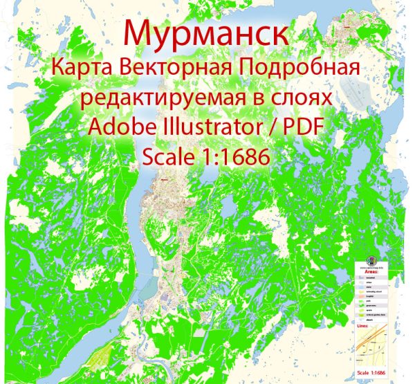
Some information about the transportation and port infrastructure in Murmansk, Russia.
Vectormap.Net provide you with the most accurate and up-to-date vector maps in Adobe Illustrator, PDF and other formats, designed for editing and printing. Please read the vector map descriptions carefully.
Transportation:
- Air Transport:
- Murmansk has an international airport, Murmansk Airport (MMK), which serves as a hub for both domestic and international flights.
- The airport connects Murmansk to major cities in Russia and some international destinations.
- Rail Transport:
- The city is connected to the Russian rail network, providing an essential means of transporting goods and passengers to and from Murmansk.
- The railway connection plays a crucial role in facilitating the transportation of goods from Murmansk to other parts of Russia.
- Road Transport:
- Murmansk has a road network connecting it to other cities in Russia. Roads are essential for the transportation of goods by trucks.
- The Northern Lights Highway (Kola Highway) is a significant road that connects Murmansk to other parts of the country.
- Sea Transport:
- Given its strategic location on the Barents Sea, Murmansk has a vital role in maritime transport.
- The ice-free port of Murmansk is of particular importance for shipping. It remains operational even during the winter months when many other ports in the region are icebound.
Port Infrastructure:
- Murmansk Commercial Seaport:
- The Murmansk Commercial Seaport is the largest and most significant port in the region.
- It is a major gateway for the export and import of goods, handling various types of cargo, including general cargo, bulk cargo, and containers.
- Kandalaksha Port:
- Kandalaksha is another port in the Murmansk region, situated on the White Sea. It contributes to the transportation of goods to and from Murmansk.
- Infrastructure for Arctic Shipping:
- Given its proximity to the Arctic region, Murmansk is strategically positioned for Arctic shipping routes.
- The city has facilities and infrastructure to support Arctic shipping, which is becoming more important as the Arctic region opens up for navigation due to climate change.
- Fishing Port:
- Murmansk is known for its fishing industry, and there are fishing ports that handle the catch and support the fishing fleet.
It’s essential to note that Murmansk’s transportation and port infrastructure are of strategic importance, especially considering its location in the Arctic and its role in connecting Russia to Arctic shipping routes. If you need the most recent and specific details, I recommend checking the latest sources or contacting local authorities or port authorities in Murmansk.


 Author: Kirill Shrayber, Ph.D.