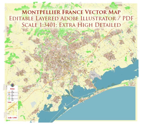
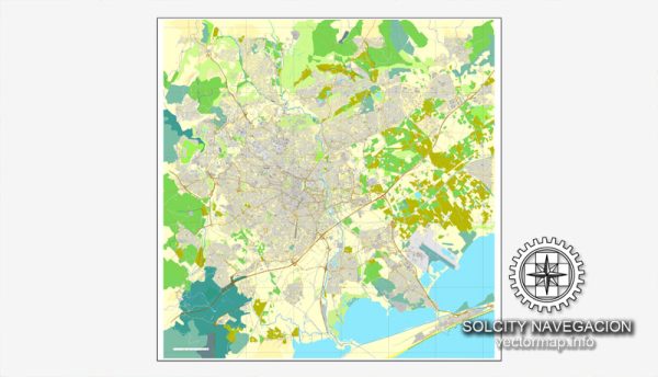
Montpellier, located in the south of France, is a city with a rich urban history dating back to the medieval period.
Vectormap.Net provide you with the most accurate and up-to-date vector maps in Adobe Illustrator, PDF and other formats, designed for editing and printing. Please read the vector map descriptions carefully.
Here is a detailed description of its urban history and street system:
- Medieval Origins (10th-12th centuries): Montpellier’s history can be traced back to the 10th century when it was a small village. It began to grow in importance during the 12th century, becoming a major center for trade and learning. The city’s street layout in the medieval period was characterized by narrow winding streets and alleys, typical of many European cities during that time.
- University City (13th-17th centuries): In the 13th century, Montpellier became renowned for its medical school, attracting scholars and students from across Europe. This period of intellectual and cultural growth influenced the city’s urban development. The university’s presence contributed to the establishment of a distinct academic quarter, which still bears its mark on the city’s layout.
- Boulevard du Peyrou and Promenade du Peyrou (17th-18th centuries): In the 17th and 18th centuries, Montpellier underwent significant urban planning changes. The creation of the Boulevard du Peyrou, a grand promenade, and the Promenade du Peyrou, a formal garden, added a touch of elegance to the city. This area is still a focal point for both locals and visitors, offering a glimpse into Montpellier’s historical urban design.
- Expansion and Modernization (19th century): The 19th century witnessed further expansion and modernization of Montpellier. The city walls were dismantled, allowing for outward growth. Streets were widened, and new districts were established. This period marked the beginning of Montpellier’s transition into a more modern urban center.
- Haussmannian Influence (19th century): Like many European cities, Montpellier experienced the influence of Haussmannian urban planning during the 19th century. Wide boulevards, squares, and public spaces were created, transforming the cityscape. This period also saw the introduction of new architectural styles and the construction of significant public buildings.
- 20th Century and Contemporary Developments: In the 20th century, Montpellier continued to evolve with the construction of modern infrastructure, including transportation networks and residential areas. The city expanded its cultural and economic influence, becoming a dynamic and cosmopolitan hub.
- Street System: Montpellier’s street system is a mix of narrow medieval alleys and broader boulevards from later periods. The historic center, known as “l’Écusson,” is characterized by winding streets, charming squares, and historic buildings. As the city expanded, newer districts were planned with a more organized grid system.
- Public Spaces and Parks: Montpellier boasts several public spaces, such as the Place de la Comédie, a central square surrounded by cafes and shops. The city also features parks and green spaces, contributing to its overall urban aesthetics and providing recreational areas for residents.
In summary, Montpellier’s urban history reflects its evolution from a medieval village to a thriving center of culture, education, and commerce. The city’s street system, influenced by various historical periods, contributes to its unique charm and character.


 Author: Kirill Shrayber, Ph.D. FRGS