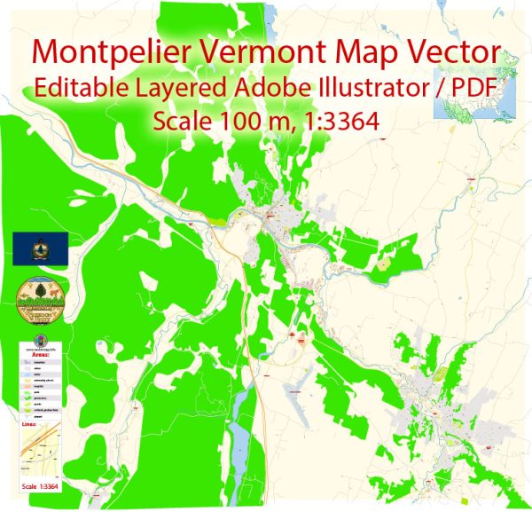
Montpelier, Vermont, has a rich industrial history and a road system that reflects the city’s growth and development over the years.
Vectormap.Net provide you with the most accurate and up-to-date vector maps in Adobe Illustrator, PDF and other formats, designed for editing and printing. Please read the vector map descriptions carefully.
Industrial History:
- Early Industry: Montpelier’s industrial history can be traced back to the early 19th century. In its early years, the city’s economy was primarily based on agriculture and small-scale manufacturing. Water-powered mills were crucial to the growth of industry in the region, with mills for lumber, grain, and textiles being established along the Winooski River.
- Granite Industry: One of the defining industries in Montpelier was granite quarrying and manufacturing. The region was known for its high-quality granite, and by the late 19th century, Montpelier had become a major granite producer. The granite industry played a significant role in shaping the city’s economic landscape, providing employment and contributing to the construction of numerous buildings and monuments across the United States.
- Printing and Publishing: Montpelier emerged as a center for printing and publishing in Vermont. The city became the state capital in 1805, and this contributed to the growth of the printing industry. Various newspapers, including the Vermont Watchman and State Journal, were established in Montpelier.
- Modern Economy: Over time, Montpelier’s economy diversified. Government, education, and healthcare became important sectors. Being the state capital, government offices and services are prominent employers. The city is also home to educational institutions, including Vermont College of Fine Arts, which contribute to the local economy.
Road System:
- Early Roads: Montpelier’s road system evolved from early colonial routes, many of which were based on Native American trails. The city’s location on the Winooski River influenced the development of early transportation routes. Roads connected Montpelier to other towns in Vermont, facilitating trade and commerce.
- Railroads: The arrival of railroads in the mid-19th century further enhanced Montpelier’s connectivity. The Montpelier and Wells River Railroad, among others, played a crucial role in transporting goods and people, supporting the growth of industry and commerce.
- Modern Highways: With the advent of automobiles, Montpelier’s road system underwent significant changes. Highways such as Interstate 89 became important transportation arteries, connecting the city to other parts of Vermont and neighboring states. These modern highways facilitated the movement of people and goods and contributed to the overall development of the region.
- City Planning and Infrastructure: Montpelier’s road system has been shaped by city planning initiatives over the years. Efforts have been made to balance the preservation of historic areas with the need for modern infrastructure. The city’s compact layout, with its mix of historic and contemporary architecture, influences how roads are designed and maintained.
In summary, Montpelier, Vermont, has a diverse industrial history that spans agriculture, granite quarrying, printing, and modern sectors like government and education. The city’s road system has evolved from early trails to include a network of highways and roads that support the region’s economic activities and provide connectivity to the broader transportation network.


 Author: Kirill Shrayber, Ph.D.