A general overview of the political and economic history of Missouri up to that point.
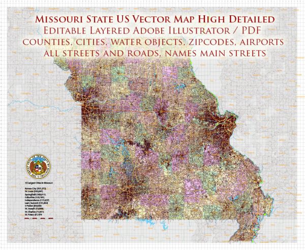
Vectormap.Net provide you with the most accurate and up-to-date vector maps in Adobe Illustrator, PDF and other formats, designed for editing and printing. Please read the vector map descriptions carefully.
Political History:
- Early Exploration and Settlement:
- The region that is now Missouri was initially explored by French explorers Jacques Marquette and Louis Jolliet in the 17th century.
- The area became part of the Louisiana Territory, and St. Louis was founded by the French in 1764.
- Statehood and the Missouri Compromise (1821):
- Missouri was admitted to the Union as the 24th state on August 10, 1821.
- The Missouri Compromise of 1820 addressed the issue of slavery in the western territories, admitting Missouri as a slave state while Maine entered as a free state, maintaining a balance between free and slave states.
- Civil War and the Battle of Wilson’s Creek (1861):
- Missouri was a border state during the Civil War, with residents divided in their loyalties between the Union and the Confederacy.
- The Battle of Wilson’s Creek in 1861 was one of the first major battles west of the Mississippi River.
- Post-Civil War Reconstruction and Industrialization:
- After the Civil War, Missouri experienced economic growth and industrialization, particularly in St. Louis.
- The state played a key role in westward expansion and the development of the railroad.
- 20th Century and Modern Era:
- Missouri continued to play a significant role in U.S. politics throughout the 20th century.
- Notable political figures from Missouri include Harry S. Truman, who became the 33rd President of the United States.
- The state has generally been a swing state in presidential elections, with voters often choosing candidates from both major political parties.
Economic History:
- Agriculture and Fur Trading:
- In the 19th century, Missouri’s economy was primarily based on agriculture, with crops like tobacco, hemp, and later, soybeans becoming important.
- Industrialization and Transportation:
- The state’s economy grew with the expansion of railroads and the development of St. Louis as a major transportation hub.
- Industrialization, especially in the manufacturing sector, played a crucial role in the state’s economic development.
- Post-World War II Economic Growth:
- After World War II, Missouri experienced economic growth, driven by factors like manufacturing, agriculture, and the growth of the service sector.
- Contemporary Economy:
- As of my last update in 2022, Missouri’s economy is diverse, with contributions from manufacturing, agriculture, healthcare, and technology sectors.
- Major industries include aerospace, automobile manufacturing, and biotechnology.


 Author: Kirill Shrayber, Ph.D. FRGS