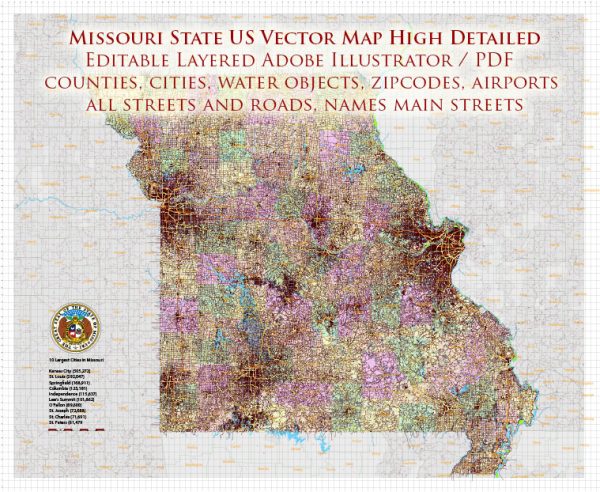
A general overview of some of the main cities, towns, and highways in Missouri.
Vectormap.Net provide you with the most accurate and up-to-date vector maps in Adobe Illustrator, PDF and other formats, designed for editing and printing. Please read the vector map descriptions carefully.
Main Cities:
- St. Louis:
- Located in eastern Missouri along the Mississippi River.
- Home to iconic landmarks like the Gateway Arch and the St. Louis Zoo.
- Major cultural and economic hub.
- Kansas City:
- Situated on the western border of Missouri.
- Known for its barbecue, jazz heritage, and the Country Club Plaza shopping district.
- A significant center for business and entertainment.
- Springfield:
- In the southwestern part of the state.
- Third-largest city in Missouri.
- Features attractions like the Wonders of Wildlife National Museum & Aquarium.
- Columbia:
- Central Missouri.
- Home to the University of Missouri and known for its education and healthcare services.
- Jefferson City:
- The capital of Missouri, located along the Missouri River.
- Houses the Missouri State Capitol and various government buildings.
Other Notable Towns and Areas:
- Branson:
- A popular tourist destination in the Ozark Mountains, known for its live entertainment and attractions.
- Independence:
- Adjacent to Kansas City, it’s historically significant as the hometown of President Harry S. Truman.
- St. Charles:
- Near St. Louis, with a historic district along the Missouri River.
Major Highways:
- Interstate 70 (I-70):
- Crosses the state from the east to the west, connecting St. Louis and Kansas City.
- Interstate 44 (I-44):
- Runs southwest to northeast, connecting St. Louis with Springfield and beyond.
- Interstate 55 (I-55):
- Connects St. Louis and southeastern Missouri, running south towards Memphis, Tennessee.
- US Route 61:
- Runs along the Mississippi River, connecting St. Louis with the southeastern part of the state.
Toll Roads:
As of my last knowledge update, Missouri does not have an extensive system of toll roads. However, it’s important to check for any recent changes in infrastructure and policies.
Free Roads:
Most roads in Missouri are free to use, and the state has an extensive network of highways and byways maintained by the Missouri Department of Transportation (MoDOT).
For the most up-to-date information on roads, tolls, and specific details, please check with local authorities or the Missouri Department of Transportation.


 Author: Kirill Shrayber, Ph.D. FRGS