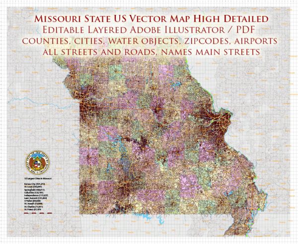
A general overview of the transportation infrastructure in the state of Missouri, USA.
Vectormap.Net provide you with the most accurate and up-to-date vector maps in Adobe Illustrator, PDF and other formats, designed for editing and printing. Please read the vector map descriptions carefully.
Here are key aspects of Missouri’s transportation infrastructure:
- Roads and Highways:
- Interstate Highways: Missouri is crisscrossed by several major interstate highways, including I-70, I-44, I-55, I-29, and I-35. These highways connect major cities and facilitate the movement of goods and people across the state.
- U.S. Highways: The state has an extensive network of U.S. highways, providing connectivity to smaller towns and rural areas.
- State Highways: Missouri’s Department of Transportation (MoDOT) manages a comprehensive network of state highways that cover the entire state.
- Bridges and Tunnels:
- Missouri is home to numerous bridges, some of which span the Mississippi and Missouri Rivers. These bridges play a crucial role in facilitating interstate and intrastate travel.
- Public Transit:
- Major cities in Missouri, such as St. Louis and Kansas City, have public transit systems, including buses and light rail. These systems help residents commute within the cities and surrounding areas.
- Airports:
- Lambert-St. Louis International Airport (STL) and Kansas City International Airport (MCI) are the primary airports serving major metropolitan areas. There are also regional and municipal airports throughout the state.
- Rail Transportation:
- Railroads have historically been vital to Missouri’s transportation infrastructure. The state is intersected by major freight rail lines. Amtrak, the national passenger rail service, operates the Missouri River Runner route between St. Louis and Kansas City.
- Ports and Waterways:
- The Mississippi River, Missouri River, and other waterways contribute to the state’s transportation infrastructure. The Port of St. Louis is an essential inland port along the Mississippi River.
- Cycling and Pedestrian Infrastructure:
- Some cities in Missouri have made efforts to improve cycling and pedestrian infrastructure, with dedicated bike lanes and pedestrian-friendly areas.
- Transportation Authorities:
- The Missouri Department of Transportation (MoDOT) is the primary agency responsible for planning, developing, and maintaining the state’s transportation infrastructure.
- Intelligent Transportation Systems (ITS):
- Missouri has implemented ITS technologies to enhance traffic management, improve safety, and provide real-time information to travelers.
It’s important to check with local authorities or official transportation websites for the most up-to-date information, as infrastructure and transportation systems can evolve over time.


 Author: Kirill Shrayber, Ph.D. FRGS