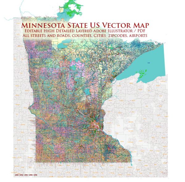
Minnesota, located in the northern part of the United States, is known for its diverse landscapes, including lakes, forests, and prairies.
Vectormap.Net provide you with the most accurate and up-to-date vector maps in Adobe Illustrator, PDF and other formats, designed for editing and printing. Please read the vector map descriptions carefully.
Here’s a brief overview of some of the main cities, towns, and key roads in the state:
Major Cities:
- Minneapolis: As the largest city in Minnesota, Minneapolis is known for its cultural attractions, including theaters, museums, and a vibrant music scene. The city is part of the Twin Cities metropolitan area, along with St. Paul.
- St. Paul: The capital city of Minnesota, St. Paul is situated adjacent to Minneapolis. Together, they form the “Twin Cities.” St. Paul has a historic feel with notable landmarks, government buildings, and parks.
- Rochester: Located in the southeastern part of the state, Rochester is known for the Mayo Clinic, one of the world’s most renowned medical institutions.
- Duluth: Positioned on the western tip of Lake Superior, Duluth is a major port city and a gateway to the scenic North Shore.
- Bloomington: Home to the Mall of America, one of the largest shopping malls in the country, Bloomington is a suburb of Minneapolis and a hub for retail and entertainment.
Towns and Regions:
- Mankato: Situated in southern Minnesota, Mankato is known for its educational institutions and outdoor recreational opportunities.
- St. Cloud: Located along the Mississippi River, St. Cloud is a regional center for education, healthcare, and business.
- Alexandria: Known for its lakes and outdoor activities, Alexandria is a popular destination in central Minnesota.
- Stillwater: A historic town on the St. Croix River, Stillwater is known for its charming architecture, antique shops, and scenic riverfront.
Major Highways and Roads:
- Interstate 35 (I-35): This north-south interstate connects Duluth to the Canadian border in the north and Iowa in the south.
- Interstate 94 (I-94): Running east-west, I-94 connects the Twin Cities to cities such as Fargo, North Dakota, and Milwaukee, Wisconsin.
- Interstate 90 (I-90): Crossing the southern part of the state, I-90 connects Minnesota to South Dakota and beyond.
- U.S. Route 52 (US 52): This north-south highway runs through the eastern part of the state, connecting the Twin Cities to the Iowa border.
- Minnesota State Highway 371 (MN 371): Running through central Minnesota, MN 371 is a significant route connecting various towns and recreational areas.
Toll Roads:
Minnesota does not have a comprehensive toll road system. As of my knowledge cutoff in January 2022, there are no toll roads in the state. However, it’s essential to check for any updates or changes to road infrastructure policies.
Keep in mind that this information might have changed since my last update, so it’s advisable to consult the latest resources or official transportation depart


 Author: Kirill Shrayber, Ph.D.