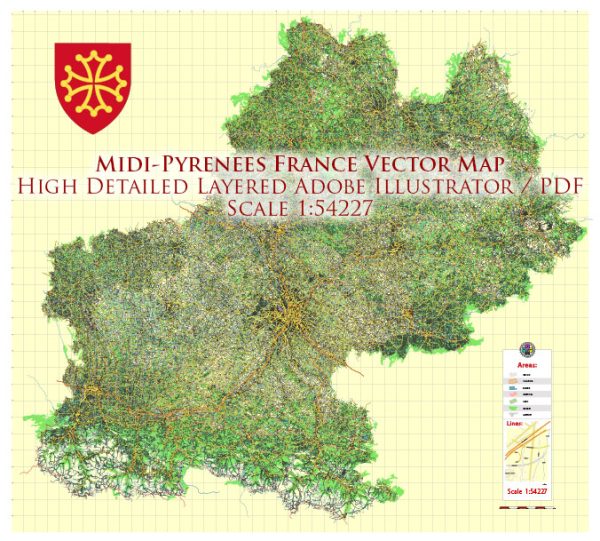
Midi-Pyrénées was a former administrative region in the southwest of France. Please note that administrative regions in France were restructured, and as of 2016, Midi-Pyrénées is now part of the larger region called Occitanie.
Vectormap.Net provide you with the most accurate and up-to-date vector maps in Adobe Illustrator, PDF and other formats, designed for editing and printing. Please read the vector map descriptions carefully.
A general overview based on the available information:
Main Cities and Towns in Midi-Pyrénées (Occitanie):
- Toulouse: The capital of the region, Toulouse is known for its aerospace industry and is a major cultural and economic hub.
- Montauban: Situated to the north of Toulouse, Montauban is known for its historic architecture, including the Place Nationale.
- Albi: Famous for its red-brick cathedral and historic center, Albi is a UNESCO World Heritage Site.
- Cahors: Located along the Lot River, Cahors is known for its medieval bridge and the production of Cahors wine.
- Tarbes: Found in the Pyrenees, Tarbes is known for its Jardin Massey and as a gateway to the mountains.
- Auch: The historic capital of Gascony, Auch is known for its cathedral and the statue of d’Artagnan, a fictional character in Alexandre Dumas’ novels.
- Foix: Situated in the foothills of the Pyrenees, Foix is known for its medieval castle.
Principal Roads:
- A61: This autoroute connects Toulouse to Narbonne and is an important north-south route.
- A62: Running from Bordeaux to Toulouse, the A62 is a major east-west highway.
- A20: Connecting Vierzon in central France to Montauban in the south, the A20 passes through Limoges and Cahors.
- N20: A national route running from Paris to the Spanish border, passing through Toulouse.
- N124: Connecting Toulouse to the Pyrenees, passing through Auch.
Please verify this information with more recent sources, as there may have been changes in administrative divisions or infrastructure since my last update.


 Author: Kirill Shrayber, Ph.D. FRGS