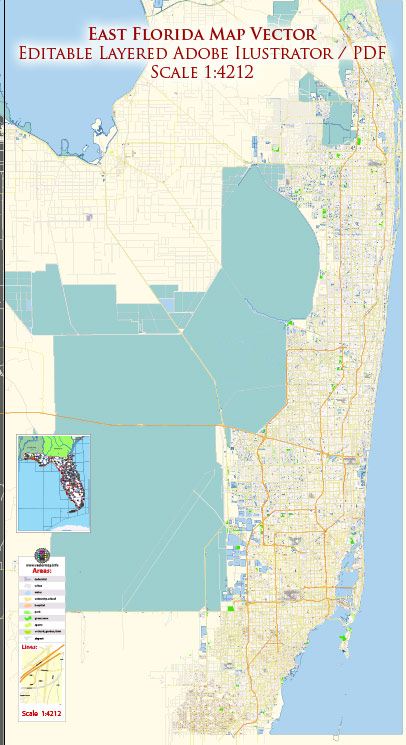
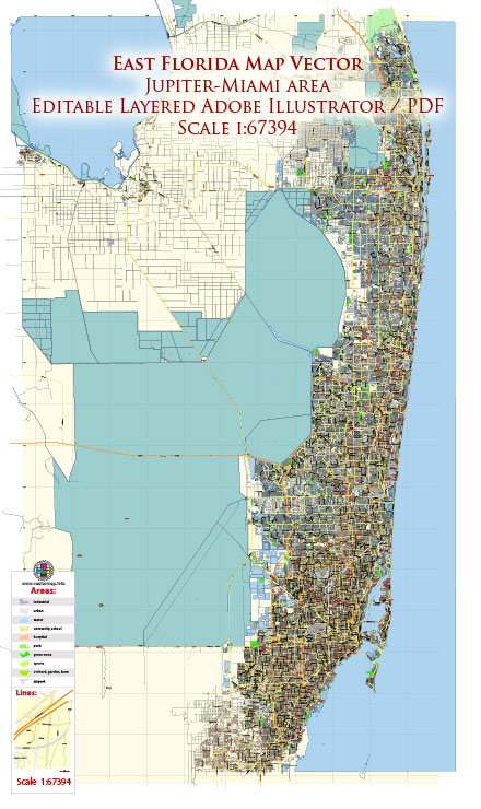
South-East Florida is characterized by urban centers, coastal communities, and a network of roads catering to the region’s high population density and tourist attractions. It’s important to note that infrastructure details can change, so it’s advisable to check with local authorities or recent sources for the most up-to-date information.
Vectormap.Net provide you with the most accurate and up-to-date vector maps in Adobe Illustrator, PDF and other formats, designed for editing and printing. Please read the vector map descriptions carefully.
Here’s a general overview:
Cities and Towns in South-East Florida:
- Miami:
- Infrastructure: Miami has a well-developed infrastructure, including a network of highways, causeways, and bridges. The city is known for its bustling downtown, the Port of Miami, and the Miami International Airport.
- Fort Lauderdale:
- Infrastructure: Fort Lauderdale features a mix of urban and suburban infrastructure with a network of roads, including major highways and the Fort Lauderdale-Hollywood International Airport.
- West Palm Beach:
- Infrastructure: West Palm Beach has a well-maintained infrastructure, including major roads, bridges, and the Palm Beach International Airport.
- Boca Raton:
- Infrastructure: Boca Raton is a suburban community with a network of roads connecting residential areas, commercial districts, and the coastal areas.
- Delray Beach:
- Infrastructure: Delray Beach, like many coastal communities, has a combination of residential streets, commercial areas, and beachfront infrastructure.
Roads and Highways:
- Interstate 95 (I-95):
- Description: I-95 runs north-south along the eastern coast of the United States. In South-East Florida, it connects cities such as Miami, Fort Lauderdale, and West Palm Beach.
- Florida’s Turnpike:
- Description: This toll road system passes through South-East Florida, providing connections to major cities and facilitating north-south travel in the region.
- U.S. Route 1:
- Description: U.S. Route 1 runs parallel to the coast, connecting various cities in South-East Florida and serving as a major north-south route.
- State Road A1A:
- Description: State Road A1A runs along the Atlantic Ocean, offering scenic views and access to coastal communities in South-East Florida.
Public Transportation:
- Metropolitan Miami:
- Description: Miami-Dade County operates the Metrorail and Metromover systems, providing public transportation options within the Greater Miami area.
- Broward County:
- Description: Broward County Transit operates bus services in and around Fort Lauderdale, providing public transportation for residents and visitors.
- Palm Beach County:
- Description: Palm Tran operates bus services in Palm Beach County, offering public transportation options for the residents of West Palm Beach and surrounding areas.
- Tri-Rail:
- Description: Tri-Rail is a commuter rail system connecting Miami, Fort Lauderdale, and West Palm Beach, providing an alternative for commuters.
This overview provides a general picture of the infrastructure in South-East Florida, but it’s essential to verify specific details and changes from local sources or authorities for the latest information.


 Author: Kirill Shrayber, Ph.D.