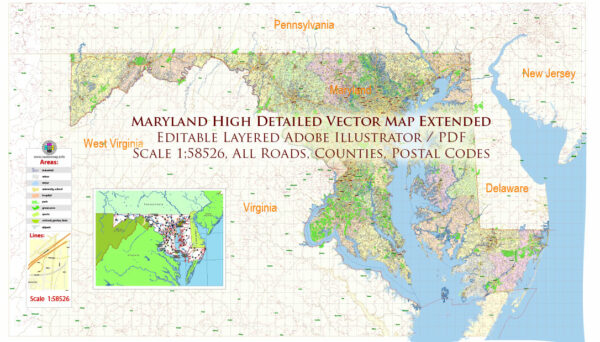
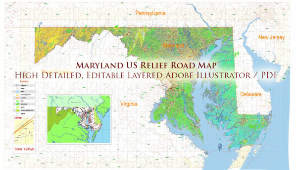
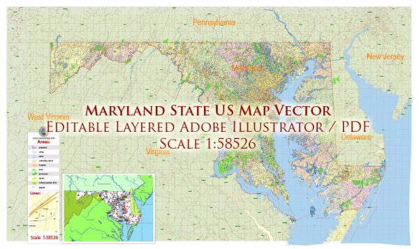
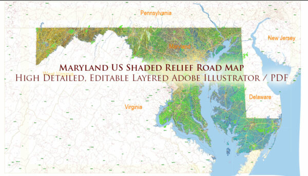
Maryland is a state located in the Mid-Atlantic region of the United States. It is known for its diverse landscapes, historical significance, and proximity to major metropolitan areas.
Vectormap.Net provide you with the most accurate and up-to-date vector maps in Adobe Illustrator, PDF and other formats, designed for editing and printing. Please read the vector map descriptions carefully.
Here is a detailed overview of some of the main cities, ports, towns, and principal roads in Maryland:
- Baltimore:
- Description: Baltimore is the largest city in Maryland and a major port city on the Chesapeake Bay. It has a rich history and is known for its maritime heritage. The Inner Harbor area is a popular tourist destination with attractions like the National Aquarium, historic ships, and museums.
- Annapolis:
- Description: Annapolis is the capital of Maryland and is located on the Chesapeake Bay. It is known for its well-preserved historic district, including the United States Naval Academy, Maryland State House, and charming waterfront.
- Frederick:
- Description: Frederick is a city in western Maryland known for its vibrant downtown area with unique shops, restaurants, and historic architecture. It is often considered a gateway to the Appalachian Mountains.
- Columbia:
- Description: Columbia is a planned community located between Baltimore and Washington, D.C. It is known for its thoughtful urban planning, recreational amenities, and diverse neighborhoods.
- Ocean City:
- Description: Ocean City is a popular beach resort town located along the Atlantic Ocean. It is famous for its sandy beaches, a lively boardwalk, and a wide range of recreational activities.
- Salisbury:
- Description: Salisbury is located on the Eastern Shore of Maryland and serves as a regional center for commerce and culture. It has a historic downtown area and is known for events like the National Folk Festival.
- Ports:
- Baltimore Harbor: A major seaport on the Chesapeake Bay, handling a significant portion of the region’s cargo and container traffic.
- Port of Salisbury: A smaller port on the Wicomico River, serving the eastern part of the state.
- Major Roads:
- Interstate 95 (I-95): A major north-south highway running through Maryland, connecting cities like Baltimore and Washington, D.C.
- Interstate 70 (I-70): An east-west highway connecting Frederick with Baltimore and Hagerstown.
- Route 50: An east-west highway connecting Annapolis with the Eastern Shore and Ocean City.
- Interstate 83 (I-83): Running north-south, connecting Baltimore with York, Pennsylvania.
- Interstate 695 (I-695): The Baltimore Beltway, encircling the city.
These cities, ports, towns, and roads contribute to the economic, cultural, and historical significance of Maryland, making it a diverse and dynamic state.


 Author: Kirill Shrayber, Ph.D. FRGS