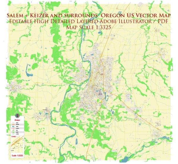
A general overview of Salem and Keizer, Oregon, including information about districts, communities, and the street system.
Vectormap.Net provide you with the most accurate and up-to-date vector maps in Adobe Illustrator, PDF and other formats, designed for editing and printing. Please read the vector map descriptions carefully.
Salem, Oregon:
- Districts and Communities:
- Downtown Salem: The heart of the city, downtown Salem is known for its historic buildings, government offices, and cultural attractions. It features the Oregon State Capitol, Willamette University, and the Salem Convention Center.
- West Salem: This area is across the Willamette River from downtown Salem. It’s a mix of residential neighborhoods, parks, and commercial areas.
- South Salem: South Salem includes a variety of residential neighborhoods, parks, and schools. It is a diverse area with a mix of housing options.
- Northeast Salem: This area is characterized by a mix of residential and industrial zones. It includes the State Fairgrounds and the Oregon State Hospital.
- Keizer: While Keizer is a separate city, it is often considered part of the Salem Metropolitan Area. It is situated to the north of Salem and is known for its parks, neighborhoods, and Keizer Station shopping area.
- Street System:
- Salem has a grid-based street system, making navigation relatively straightforward. Streets are numbered, and the city is divided into quadrants (NW, NE, SW, SE) by the Willamette River and State Street.
- State Street is a major east-west thoroughfare running through the heart of Salem.
- Commercial Street is a significant north-south road in downtown Salem.
- Interstate 5 runs north-south through Salem, providing a major transportation route.
Keizer, Oregon:
- Districts and Communities:
- Keizer Station: This area is a major shopping and entertainment district in Keizer, featuring a mix of retail stores, restaurants, and a cinema.
- Residential Areas: Keizer is primarily residential, with various neighborhoods offering a range of housing options.
- Street System:
- Keizer’s street system is generally well-organized, with a mix of residential streets and main thoroughfares.
- River Road North is a significant road that runs through Keizer, connecting it to Salem.
- Keizer is connected to Interstate 5, providing easy access to other parts of the state.
For the most accurate and current information, consider checking with local government sources, community websites, or mapping services.


 Author: Kirill Shrayber, Ph.D. FRGS