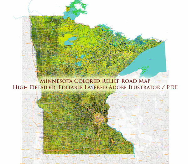
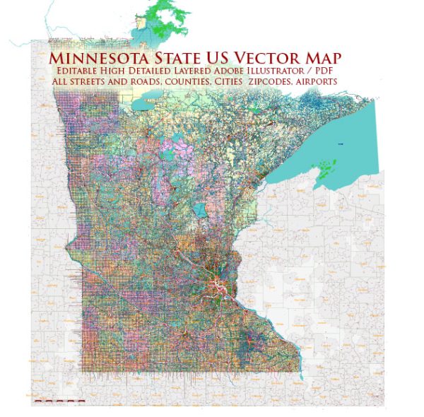
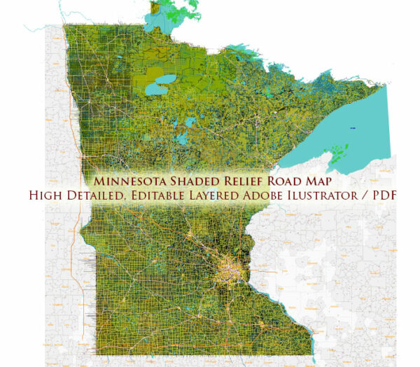
Minnesota is a state located in the Midwestern region of the United States. It is known for its diverse landscapes, numerous lakes, and vibrant cities.
Vectormap.Net provide you with the most accurate and up-to-date vector maps in Adobe Illustrator, PDF and other formats, designed for editing and printing. Please read the vector map descriptions carefully.
Here’s a brief overview of some of the main cities and towns, as well as principal roads in Minnesota:
Main Cities and Towns:
- Minneapolis: The largest city in the state, located in the southeastern part of Minnesota. It is known for its cultural attractions, including theaters, museums, and a vibrant music scene. Minneapolis is often referred to as the “Twin Cities” along with its neighboring city, St. Paul.
- St. Paul: The capital of Minnesota, situated adjacent to Minneapolis. St. Paul is known for its historic architecture, government buildings, and as a cultural and economic hub.
- Rochester: Located in the southeastern part of the state, Rochester is known for the Mayo Clinic, one of the world’s most renowned medical centers. It is a major healthcare and technology hub.
- Duluth: Situated on the shores of Lake Superior in the northeastern part of the state, Duluth is a port city and a gateway to the scenic North Shore. It is known for its outdoor recreation opportunities.
- Bloomington: Home to the Mall of America, one of the largest shopping malls in the United States. Bloomington is located near the Minneapolis-Saint Paul International Airport.
- St. Cloud: Located in central Minnesota along the Mississippi River, St. Cloud is a regional hub for education, healthcare, and industry.
- Mankato: Situated in the southern part of the state, Mankato is known for its educational institutions and as a regional center for manufacturing and healthcare.
Principal Roads:
- Interstate 35 (I-35): A major north-south interstate highway that connects the Twin Cities to Duluth and the Canadian border to the north and Des Moines, Iowa to the south.
- Interstate 94 (I-94): Runs east-west through the state, connecting the Twin Cities to Fargo, North Dakota in the west and Eau Claire, Wisconsin in the east.
- U.S. Route 52 (US 52): Travels north-south through the state, connecting the Twin Cities to Rochester and the Iowa border.
- U.S. Route 61 (US 61): Runs along the eastern edge of the state, parallel to the Mississippi River, connecting the Twin Cities to Duluth.
- Minnesota State Highway 371 (MN 371): Connects the Twin Cities to the northern part of the state, passing through cities like Brainerd.
These are just a few examples, and the state has an extensive network of highways and roads connecting various cities and towns across its diverse landscape.


 Author: Kirill Shrayber, Ph.D. FRGS