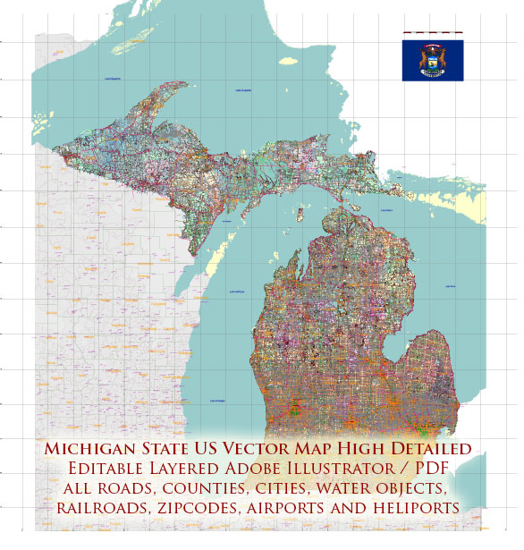
Michigan is a state located in the Great Lakes and Midwestern regions of the United States. It is known for its diverse landscapes, including the Great Lakes, forests, and urban areas.
Vectormap.Net provide you with the most accurate and up-to-date vector maps in Adobe Illustrator, PDF and other formats, designed for editing and printing. Please read the vector map descriptions carefully.
Here’s a detailed description of some of the main cities and towns, as well as principal roads in Michigan:
1. Detroit:
- Detroit is the largest city in Michigan and is known as the “Motor City” due to its historical association with the automotive industry.
- Major attractions include the Detroit Institute of Arts, Detroit Historical Museum, and the Detroit Riverwalk.
- Key roads: I-75, I-94, I-96, and M-10.
2. Grand Rapids:
- Grand Rapids is the second-largest city in the state and is situated on the Grand River.
- It is known for its vibrant arts scene, including the Frederik Meijer Gardens & Sculpture Park.
- Key roads: I-96, I-196, and US-131.
3. Lansing:
- Lansing is the state capital and is located in the central part of the state.
- It is home to the Michigan State Capitol and Michigan State University.
- Key roads: I-96 and I-496.
4. Ann Arbor:
- Ann Arbor is home to the University of Michigan and is known for its cultural events and intellectual atmosphere.
- The city has a vibrant downtown with diverse restaurants and shops.
- Key roads: I-94 and US-23.
5. Flint:
- Flint is historically associated with the automotive industry and has faced economic challenges in recent decades.
- Notable attractions include the Flint Institute of Arts and the Sloan Museum.
- Key roads: I-69 and I-75.
6. Traverse City:
- Traverse City is located in the northern part of the Lower Peninsula and is known for its scenic beauty, wineries, and cherry orchards.
- It is a popular destination for outdoor activities and hosts the annual National Cherry Festival.
- Key roads: US-31 and M-22.
7. Kalamazoo:
- Kalamazoo is known for its cultural institutions, including the Kalamazoo Institute of Arts and the Kalamazoo Valley Museum.
- Western Michigan University is located in Kalamazoo.
- Key roads: I-94 and US-131.
8. Saginaw:
- Saginaw is located in the central part of the state and has a rich history related to the lumber industry.
- Attractions include the Saginaw Art Museum and the Children’s Zoo at Celebration Square.
- Key roads: I-75 and M-46.
Principal Roads:
- Interstate Highways: Michigan has several interstate highways connecting major cities, including I-75, I-94, I-96, I-196, and I-696.
- US Highways: US-2, US-10, US-23, US-31, and US-131 are among the major U.S. highways in the state.
- State Highways: Michigan has an extensive network of state highways, denoted by M- (e.g., M-1, M-22, M-53).
These cities and roads provide a snapshot of the diverse landscapes and cultural offerings in Michigan. The state’s road network is well-developed, facilitating travel between urban centers and natural attractions.


 Author: Kirill Shrayber, Ph.D.