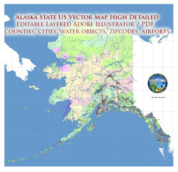
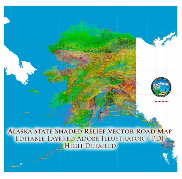
Regions of Alaska State
South Central Alaska is the southern coastal region and contains most of the state’s population. Anchorage and many growing towns, such as Palmer, and Wasilla, lie within this area. Petroleum industrial plants, transportation, tourism, and two military bases form the core of the economy here.
The Alaska Panhandle, also known as Southeast Alaska, is home to many of Alaska’s larger towns including the state capital Juneau, tidewater glaciers and extensive forests. Tourism, fishing, forestry and state government anchor the economy.
Southwest Alaska is largely coastal, bordered by both the Pacific Ocean and the Bering Sea. It is sparsely populated, and unconnected to the road system, but incredibly important to the fishing industry. Half of all fish caught in the western U.S. come from the Bering Sea, and Bristol Bay has the world’s largest sockeye salmon fishery. Southwest Alaska includes Katmai and Lake Clark national parks as well as numerous wildlife refuges. The region comprises western Cook Inlet, Bristol Bay and its watersheds, the Alaska Peninsula and the Aleutian Islands. It is known for wet and stormy weather, tundra landscapes, and large populations of salmon, brown bears, caribou, birds, and marine mammals.
The Alaska Interior is home to Fairbanks. The geography is marked by large braided rivers, such as the Yukon River and the Kuskokwim River, as well as Arctic tundra lands and shorelines.
The Alaskan Bush is the remote, less crowded part of the state, encompassing 380 native villages and small towns such as Nome, Bethel, Kotzebue and, most famously, Utqiaġvik, the northernmost town in the United States.
The northeast corner of Alaska is covered by the Arctic National Wildlife Refuge. Much of the northwest is covered by the larger National Petroleum Reserve–Alaska, which covers around 23 million acres (9,307,770 ha). The Arctic is Alaska’s most remote wilderness. A location in the National Petroleum Reserve–Alaska is 120 miles (190 km) from any town or village, the geographic point most remote from permanent habitation in the United States.
With its numerous islands, Alaska has nearly 34,000 miles (55,000 km) of tidal shoreline. The island chain extending west from the southern tip of the Alaska Peninsula is called the Aleutian Islands. Many active volcanoes are found in the Aleutians. For example, Unimak Island is home to Mount Shishaldin, a moderately active volcano that rises to 9,980 feet (3,042 m) above sea level. The chain of volcanoes extends to Mount Spurr, west of Anchorage on the mainland.
One of North America’s largest tides occurs in Turnagain Arm just south of Anchorage. Tidal differences can be more than 35 feet (10.7 m). (Many sources say Turnagain has the second-greatest tides in North America, but it has since been shown that several areas in Canada have larger tides, according to an Anchorage Daily News article dated 6/23/03)
The Aleutian Islands cross longitude 180°, so Alaska can be considered the easternmost state as well as the westernmost. Alaska and, especially, the Aleutians are one of the extreme points of the United States. The International Date Line jogs west of 180° to keep the whole state, and thus the entire continental United States, within the same legal day.
A general overview of Alaska’s transportation infrastructure.
Vectormap.Net provide you with the most accurate and up-to-date vector maps in Adobe Illustrator, PDF and other formats, designed for editing and printing. Please read the vector map descriptions carefully.
Alaska, being the largest state in the United States, faces unique challenges in terms of transportation due to its vast and rugged terrain. Here are some key aspects of Alaska’s transportation infrastructure:
- Highways and Roads:
- The Alaska road system includes the Alaska Highway, which connects the state to the contiguous United States through Canada. The Richardson Highway, George Parks Highway, and the Alaska Marine Highway System are essential components of the state’s road network.
- Road conditions can vary greatly, especially in remote areas, and weather conditions can impact travel.
- Air Transportation:
- Air travel is crucial for connecting remote communities in Alaska. The state has numerous airports, ranging from major international airports like Ted Stevens Anchorage International Airport to smaller regional and local airports.
- Bush planes and small aircraft are commonly used for transportation in more remote areas that lack road access.
- Railroads:
- The Alaska Railroad is a significant player in the state’s transportation system, running from Seward to Fairbanks. It provides freight and passenger services, offering scenic views of Alaska’s landscapes.
- Marine Transportation:
- Due to Alaska’s extensive coastline, marine transportation plays a vital role. The Alaska Marine Highway System operates ferries that connect various coastal communities and provide an alternative means of transportation.
- Ports:
- The state has several ports, with the Port of Anchorage being one of the major cargo hubs. These ports facilitate the shipment of goods and resources, particularly given Alaska’s reliance on the maritime industry.
- Challenges:
- Harsh weather conditions, including extreme cold, snow, and ice, can impact transportation infrastructure and pose challenges for maintenance and travel.
- The state’s vast size and remote locations make maintaining and developing infrastructure costly and logistically challenging.
- Infrastructure Development:
- Alaska continually invests in improving its transportation infrastructure to enhance connectivity. Projects may include road upgrades, airport expansions, and improvements to ports and harbors.
For the most recent and detailed information, it is recommended to check with local transportation authorities or official government sources in Alaska, as they may have updates on infrastructure developments and ongoing projects.


 Author: Kirill Shrayber, Ph.D. FRGS