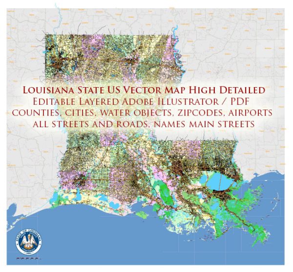
Louisiana is a state located in the southern United States, known for its rich cultural heritage, diverse landscapes, and vibrant cities.
Vectormap.Net provide you with the most accurate and up-to-date vector maps in Adobe Illustrator, PDF and other formats, designed for editing and printing. Please read the vector map descriptions carefully.
Let’s explore some of the main cities and the toll and free roads in Louisiana:
Main Cities:
- New Orleans:
- Known for its lively music scene, historic architecture, and vibrant culture.
- Key attractions include the French Quarter, Bourbon Street, and the annual Mardi Gras celebration.
- Baton Rouge:
- The state capital and home to Louisiana State University (LSU).
- Features the Old State Capitol, the USS Kidd Museum, and the Louisiana State Capitol.
- Shreveport:
- Located in the northwest corner of the state.
- Known for its casinos, riverfront activities, and cultural events.
- Lafayette:
- In the heart of Cajun country, known for its unique cuisine and cultural events.
- Festivals like Festival International de Louisiane celebrate the local culture.
- Lake Charles:
- Situated in the southwest part of the state.
- Known for its gaming industry, outdoor activities, and cultural festivals.
Toll Roads:
- Lake Pontchartrain Causeway:
- Connects the north shore of Lake Pontchartrain to the south shore.
- One of the longest continuous bridges over water globally.
- Crescent City Connection (CCC):
- Connects New Orleans’ East Bank with its West Bank over the Mississippi River.
- Tolls were in place, but as of my last knowledge update in January 2022, it was toll-free due to a decision made in 2013. Please check for any updates on toll policies.
Free Roads:
- Interstate Highways:
- Major interstates like I-10, I-20, I-49, and I-55 traverse the state, connecting Louisiana to other parts of the country.
- US Highways:
- Several U.S. highways, such as US 90 and US 61, provide additional connectivity.
- State Highways:
- A network of state highways covers various parts of Louisiana, offering convenient travel within the state.
Please note that toll and road conditions may change over time, so it’s advisable to check for the latest information from the Louisiana Department of Transportation and Development or other reliable sources before planning your trip.


 Author: Kirill Shrayber, Ph.D.