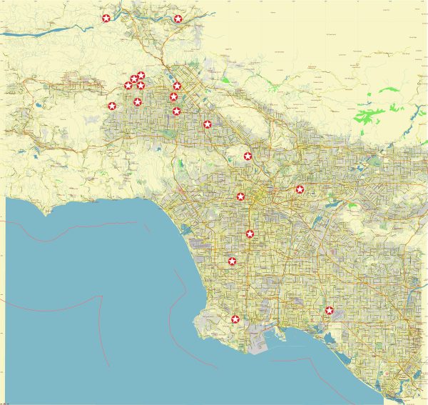
Northwest Los Angeles encompasses a diverse range of districts and communities.
Vectormap.Net provide you with the most accurate and up-to-date vector maps in Adobe Illustrator, PDF and other formats, designed for editing and printing. Please read the vector map descriptions carefully.
Here’s a general overview of some districts, communities, and the street system in Northwest Los Angeles:
Districts and Communities:
- San Fernando Valley:
- Encino: A residential neighborhood known for its upscale homes and parks.
- Sherman Oaks: Features a mix of commercial and residential areas, known for shopping and entertainment along Ventura Boulevard.
- Studio City: Home to CBS Studio Center and a mix of residential and commercial spaces.
- North Hollywood:
- A vibrant neighborhood with a growing arts district and the NoHo Arts District, offering theaters, galleries, and cultural venues.
- Woodland Hills:
- A suburban area known for its residential communities, parks, and the Westfield Topanga shopping center.
- Canoga Park:
- Residential and commercial neighborhood with parks and shopping areas.
- Chatsworth:
- Located in the northwestern San Fernando Valley, known for its open spaces and historical sites like the Chatsworth Reservoir.
- Winnetka:
- A residential community with parks and schools.
- West Hills:
- A suburban community with a mix of residential and commercial areas.
Street System:
- Ventura Boulevard:
- A major east-west thoroughfare that runs through several communities in the San Fernando Valley, including Sherman Oaks, Studio City, and Encino.
- Sepulveda Boulevard:
- Another significant north-south artery in the San Fernando Valley, providing access to various neighborhoods.
- Topanga Canyon Boulevard:
- Runs through the western part of the San Fernando Valley, connecting communities like Canoga Park and Woodland Hills.
- Hollywood Freeway (US 101):
- A major freeway providing access to and from Northwest Los Angeles, connecting to downtown Los Angeles and other parts of the city.
- Ronald Reagan Freeway (CA 118):
- Runs through the northern part of the San Fernando Valley, connecting communities like Chatsworth and Simi Valley.
- Public Transportation:
- The Metro Orange Line, a bus rapid transit system, serves parts of the San Fernando Valley, providing an alternative mode of transportation.
The street system in Northwest Los Angeles generally follows a grid pattern, with major thoroughfares intersecting to create a network of roads. Neighborhoods are often characterized by a mix of residential, commercial, and recreational spaces, contributing to the diverse and dynamic nature of the region. For the most up-to-date and detailed information, it’s advisable to consult local maps, community resources, and official city planning documents.


 Author: Kirill Shrayber, Ph.D. FRGS