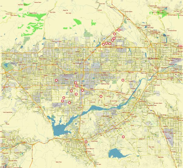
Los Angeles, California, is a vast and diverse city with a complex history and a sprawling urban landscape. North Los Angeles generally refers to the northern part of the city.
Vectormap.Net provide you with the most accurate and up-to-date vector maps in Adobe Illustrator, PDF and other formats, designed for editing and printing. Please read the vector map descriptions carefully.
Here’s a general overview of the urban history and street system in Los Angeles:
Urban History:
- Indigenous Peoples: Before European colonization, the region was inhabited by indigenous peoples, including the Tongva and Chumash. Their presence in the area dates back thousands of years.
- Spanish Colonization: In the late 18th century, Spanish missionaries and settlers arrived in California. The area that would become Los Angeles was established as a pueblo (town) in 1781 under Spanish rule.
- Mexican Era: After gaining independence from Spain, California became part of Mexico. During this time, the Mexican land grant system distributed large parcels of land, including the Rancho Los Feliz and Rancho Cahuenga in the northern areas of present-day Los Angeles.
- American Annexation: The United States took control of California in 1848 following the Mexican-American War. The discovery of gold in Northern California in 1848 and the completion of the transcontinental railroad in 1869 contributed to the growth of Los Angeles.
- Population Growth: The early 20th century saw significant population growth in Los Angeles, driven by factors such as the film industry, oil discoveries, and a favorable climate. The city rapidly expanded, and suburbs developed.
- Infrastructure Development: The growth of Los Angeles led to the establishment of a comprehensive infrastructure, including roads, highways, and public transportation. The city’s iconic streetcar system, developed in the early 20th century, played a crucial role in shaping its urban layout.
Street System:
- Grid Layout: Much of Los Angeles, including the northern areas, features a grid-based street system. Streets typically run north-south or east-west, making navigation relatively straightforward.
- Major Roads and Highways: Several major roads and highways traverse North Los Angeles. The Interstate 5 (I-5) and Interstate 405 (I-405) are important north-south routes, while the Interstate 210 (I-210) and Interstate 10 (I-10) are significant east-west routes.
- Boulevards and Avenues: Wilshire Boulevard is a notable east-west thoroughfare that extends from downtown Los Angeles through the northern areas. Other major streets include Ventura Boulevard and Lankershim Boulevard.
- Neighborhoods: The northern part of Los Angeles encompasses various neighborhoods, including North Hollywood, Studio City, Sherman Oaks, and Van Nuys. Each neighborhood has its unique character and history.
It’s important to check more recent sources for updates on urban development, as the city’s landscape can evolve rapidly. Additionally, local historical societies and city archives are excellent resources for in-depth information on the history of specific neighborhoods in North Los Angeles.


 Author: Kirill Shrayber, Ph.D. FRGS