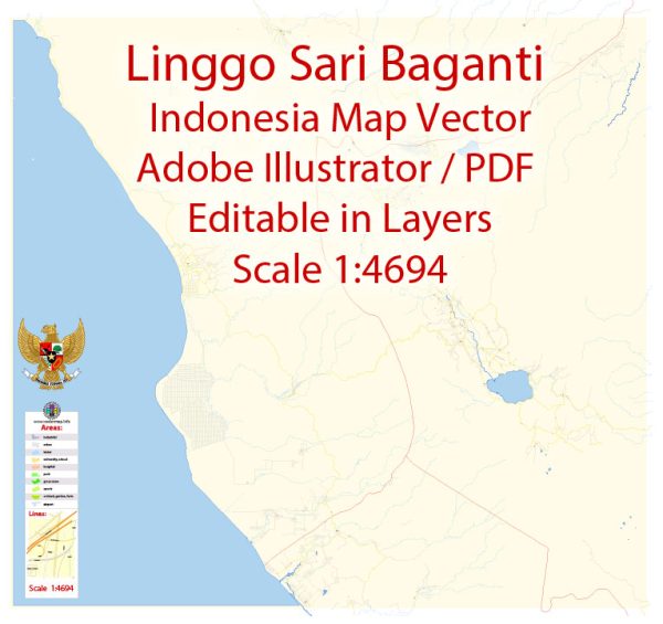
Linggo Sari Baganti situated in the Pesisir Selatan – a regency located in the western part of Sumatra, Indonesia. It is part of the West Sumatra province.
Vectormap.Net provide you with the most accurate and up-to-date vector maps in Adobe Illustrator, PDF and other formats, designed for editing and printing. Please read the vector map descriptions carefully.
Main Cities and Towns in Pesisir Selatan:
- Lubuk Sikaping: It is the capital city of Pesisir Selatan Regency and serves as the administrative center. Lubuk Sikaping is known for its cultural richness and serves as a hub for various activities in the region.
- Painan: Painan is another significant town in Pesisir Selatan. It is a coastal town and plays a role in the economic activities related to fishing and marine resources.
- Bungus: Bungus is known for its beautiful beaches and coastal landscapes. It attracts tourists who are interested in exploring the natural beauty of the region.
Principal Roads:
- Trans-Sumatran Highway: Pesisir Selatan is traversed by the Trans-Sumatran Highway, which is a major road network connecting various parts of Sumatra. This highway is crucial for transportation and trade across the island.
- Painan-Lubuk Sikaping Road: This road connects the two major towns of Painan and Lubuk Sikaping, serving as an essential route for local transportation and connecting communities.
- Coastal Roads: Given Pesisir Selatan’s location along the coast, there are likely coastal roads connecting different towns and villages, facilitating transportation and trade activities related to fishing and marine resources.
- Local Roads: In addition to major highways, there are numerous local roads connecting smaller villages and communities within the regency. These roads are vital for local transportation and access to various areas.


 Author: Kirill Shrayber, Ph.D. FRGS