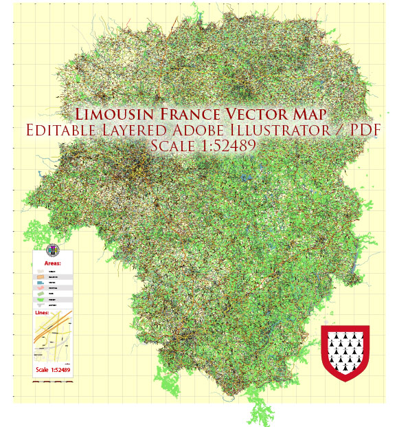
Limousin is a former administrative region located in central France, known for its picturesque landscapes, charming villages, and historical sites. Administrative regions in France were reorganized in 2016, and Limousin was merged with Aquitaine and Poitou-Charentes to form the new administrative region of Nouvelle-Aquitaine.
Vectormap.Net provide you with the most accurate and up-to-date vector maps in Adobe Illustrator, PDF and other formats, designed for editing and printing. Please read the vector map descriptions carefully.
Limousin consisted of three departments: Creuse, Haute-Vienne, and Corrèze. Here is a brief overview of the main cities in each department:
- Creuse:
- Guéret: The prefecture of Creuse, Guéret is known for its cultural heritage and the Villemonteix Castle.
- Aubusson: Famous for its tapestries, Aubusson is an important center for art and craft.
- Haute-Vienne:
- Limoges: The capital and largest city of the Limousin region, Limoges is renowned for its porcelain production. The city also has a rich historical and cultural heritage.
- Saint-Junien: Known for its leather and glove-making industry.
- Corrèze:
- Tulle: The prefecture of Corrèze, Tulle is known for its accordion manufacturing and lace production.
- Brive-la-Gaillarde: A major city and economic hub, Brive-la-Gaillarde has a charming old town and is an important center for trade.
Regarding principal roads and highways in Limousin (now part of Nouvelle-Aquitaine), the region is well-connected by a network of roads and highways. Some of the important routes include:
- A20 (Autoroute des Deux Mers): This major north-south highway passes through Limousin, connecting cities like Limoges and Brive-la-Gaillarde. It is an essential route for travel within the region and beyond.
- N20: A national highway that runs parallel to the A20 and serves as an alternative route for transportation between cities in Limousin.
- D roads (Départementales): Limousin is crisscrossed by numerous departmental roads, providing connectivity to smaller towns and villages. These roads offer scenic routes through the region’s countryside.
It’s important to verify the current administrative divisions and road network, as changes may have occurred since my last update in January 2022. For the most accurate and up-to-date information, consult local maps, navigation systems, or official regional resources.


 Author: Kirill Shrayber, Ph.D.