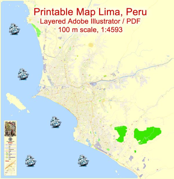
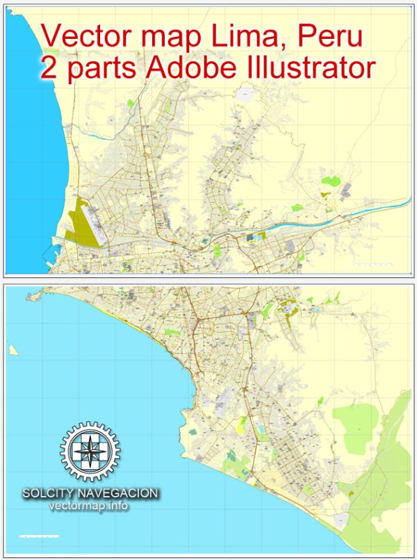
Lima, the capital and largest city of Peru, has a rich political and transportation history that spans centuries.
Vectormap.Net provide you with the most accurate and up-to-date vector maps in Adobe Illustrator, PDF and other formats, designed for editing and printing. Please read the vector map descriptions carefully.
Here’s a detailed overview:
Political History:
Pre-Colonial Period:
- The area around Lima was originally inhabited by indigenous peoples, including the Lima culture, which dates back to around 200-700 AD.
- The Inca Empire, under Pachacuti, conquered the region in the 15th century and incorporated it into their vast empire. The city of Lima was established as “Ciudad de los Reyes” (City of the Kings) by Francisco Pizarro on January 18, 1535.
Colonial Period:
- Lima became the capital of the Spanish Viceroyalty of Peru, and it played a central role in the administration of Spanish South America.
- The city flourished as a cultural and economic center during the colonial period, with the construction of notable buildings such as the Cathedral of Lima, the Government Palace, and the Santo Domingo Convent.
Independence and Republican Era:
- Peru declared its independence from Spanish rule on July 28, 1821, under the leadership of General José de San Martín.
- Lima continued to be the political and cultural center of the newly independent Peru.
- The city experienced political instability during the 19th and early 20th centuries, marked by military coups, social unrest, and economic challenges.
20th Century:
- The mid-20th century saw increased urbanization and industrialization in Lima, with a growing population and expanding infrastructure.
- The city played a role in regional politics, hosting international conferences and summits.
Late 20th Century to Present:
- Lima faced challenges such as rapid urbanization, migration from rural areas, and issues of poverty and inequality.
- In the late 20th century and early 21st century, Peru experienced periods of economic growth and political stability.
Transportation History:
Early Transportation:
- In the colonial period, Lima’s transportation relied on walking, horses, and mule-drawn carts. The Inca road system was repurposed by the Spanish.
Railways:
- The introduction of railways in the 19th century connected Lima to other regions, facilitating the transportation of goods and people.
- The Central Railway of Peru, inaugurated in the late 19th century, played a crucial role in connecting Lima with the highland regions.
Automobiles and Roads:
- The 20th century witnessed the rise of automobiles and the development of road infrastructure in Lima.
- The Pan-American Highway, connecting North and South America, passes through Lima.
Public Transportation:
- Lima developed a public transportation system, including buses and a limited metro network.
- The city has faced challenges related to traffic congestion and the need for improved public transportation.
Airport:
- Jorge Chávez International Airport, named after the Peruvian aviator, is the main international gateway to Lima and one of the busiest airports in South America.
In summary, Lima’s political history reflects its role as a colonial capital and a center for political and economic activity in Peru. The transportation history showcases the city’s evolution from traditional modes of transport to modern infrastructure, addressing the challenges of a growing population and urbanization.


 Author: Kirill Shrayber, Ph.D.